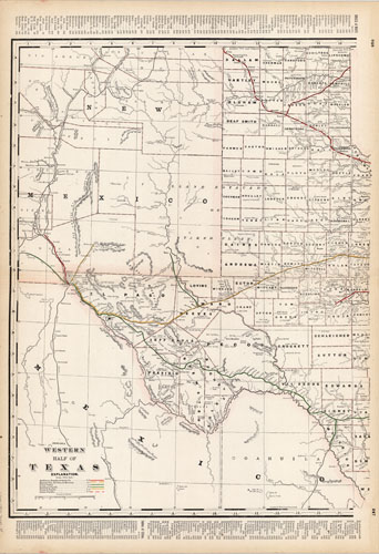
Texas Western Half
In stock
This map was issued as part of “Crams Standard American Railway Atlas” produced by George F. Cram. The maps of each state were the most detailed maps showing railroads of their time. Cram’s Railroad Atlas was acclaimed as one of the finest ever produced. Each railroad line was individually colored, numbered, and identified.
Size: 16 x 24 inches
Condition: Excellent - minor age toning at edges
Map Maker: George F. Cram
Coloring: Printed Color
Year: 1892
Condition: Excellent - minor age toning at edges
Map Maker: George F. Cram
Coloring: Printed Color
Year: 1892
In stock


