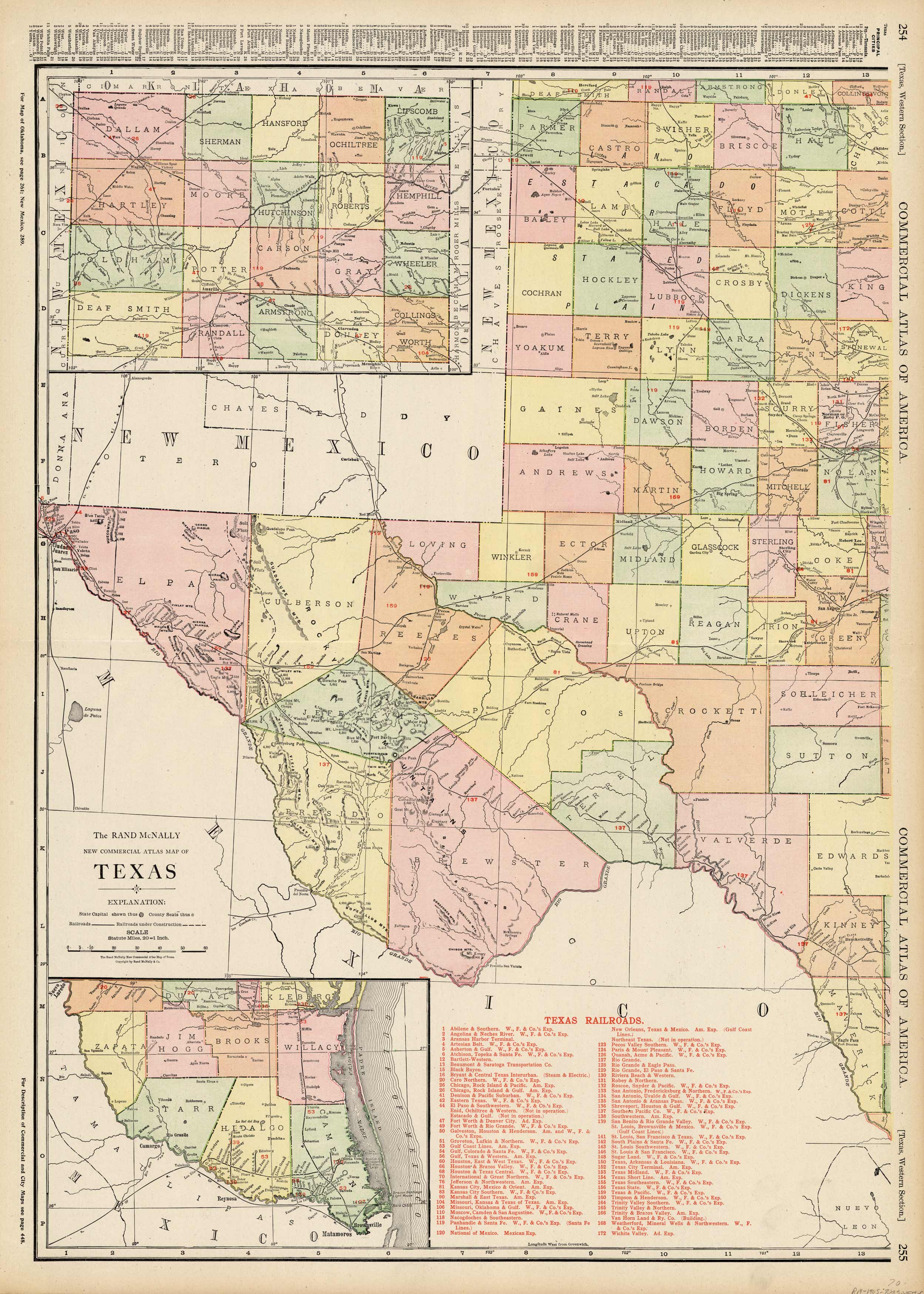
Texas, Western Section
In stock
This large scale map came from Rand McNallys Commerical Atlas of America. The Rand McNally Atlas was unusual for its time because it was designed to be used by merchants and shippers. Therefore this map is exceptionally detailed in that it shows every railroad, post office, and small town in existence at that time. Many towns shown in this map have since ceased to exist, or have been swallowed up by larger towns. This map is therefore the definitive reference for how North America looked at the end of the century. Every railroad is featured in a table in margin of map. This map has beautiful color and is folded at center as issued.
Condition: Very Good
Map Maker: Rand McNally
Coloring: Printed Color
Year: 1905
In stock


