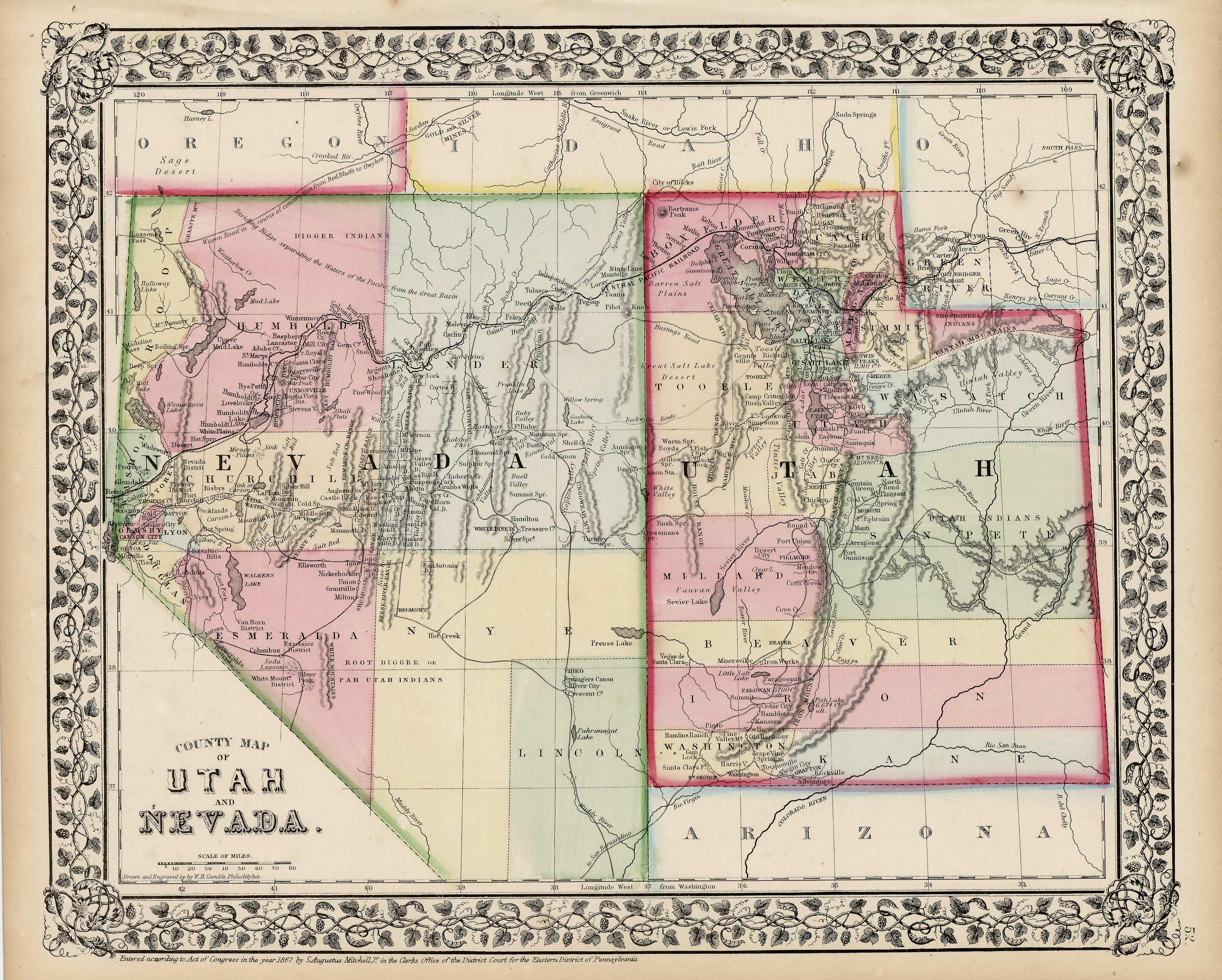
County Map of Utah and Nevada
In stock
S. Augustus Mitchell Jr. made this hand-colored map for Mitchells New General Atlas in 1870. Utah and Nevada are illustrated on this map. Regions are distinguished by bright pastel colors.
Size: 14 x 11.5 inches
Condition: Very good
Map Maker: S. Augustus Mitchell
Coloring: Hand-colored
Year: 1870
Condition: Very good
Map Maker: S. Augustus Mitchell
Coloring: Hand-colored
Year: 1870
In stock


