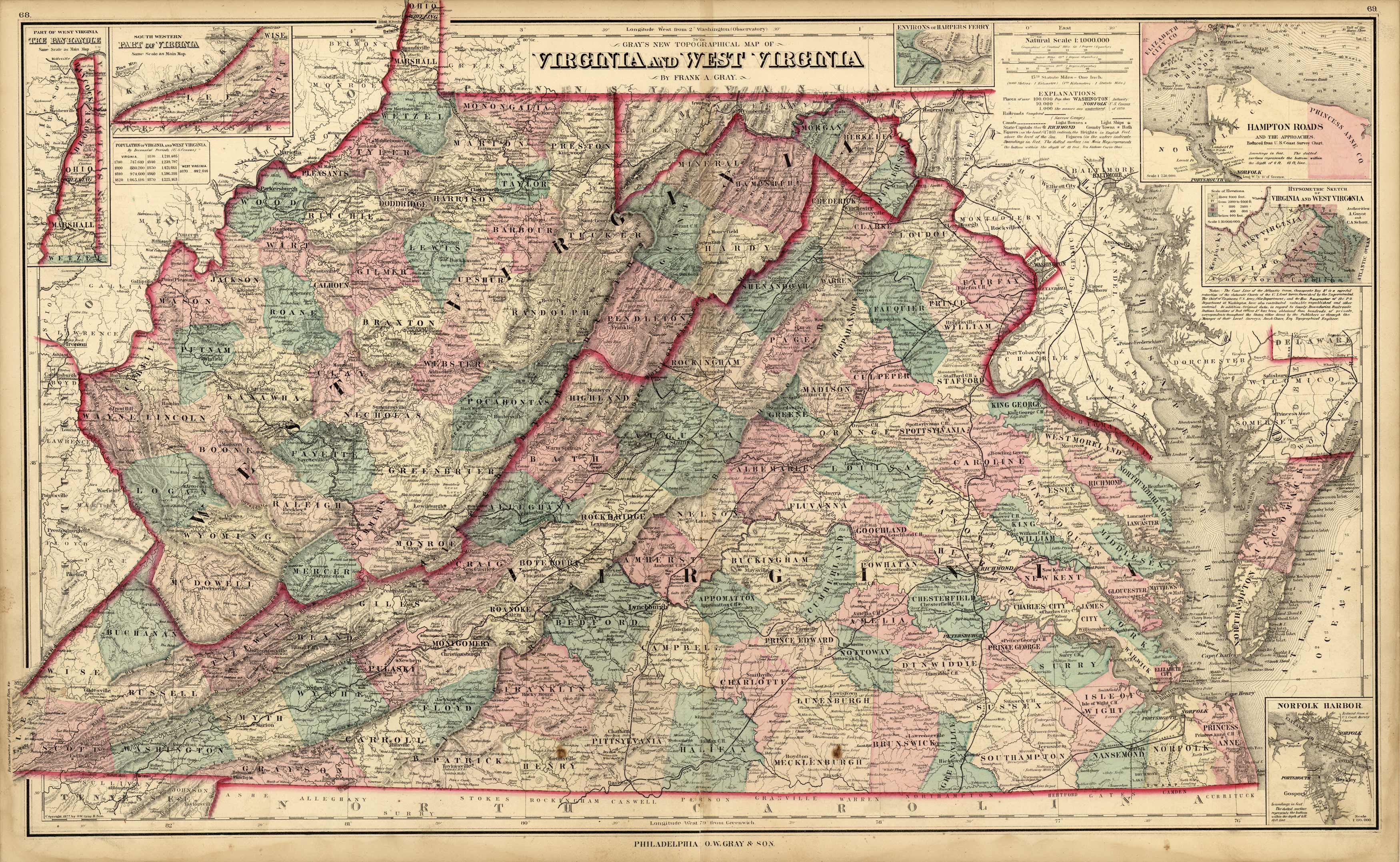
Grays New Topographical Map of Virginia and West Virginia’
In stock
This wonderful map of Virginia and West Virginia was produced by O.W. Gray as part of his “Grays Atlas of the United States with General Maps of the World accompanied by descriptions Geographical, Historical, Scientific, and Statistical”. Gray’s name appears on maps as early as 1869 and his mapping appears to end in 1890. Maps produced by Gray are exceptionally engraved and beautifully hand-colored. It has become difficult to keep up with the demand for his maps. Details on these maps include major cities, rivers, land contours of mountains or other ranges, and countries or counties are separated by colored blocks. There are several inset maps of: Part of West Virginia, The Pan Handle, South Western Part of Virginia, Environs of Harpers Ferry, Hampton Roads and the Approaches, Hypsometric Sketch of Virginia and West Virginia, Norfolk Harbor.
Condition: Good, age toning and foxing, staining in margin
Map Maker: O.W. Gray
Coloring: Original Hand Coloring
Year: 1878
In stock


