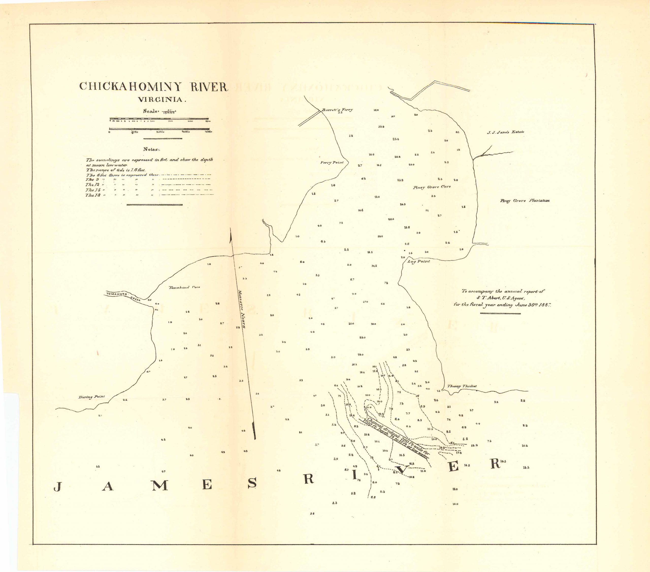
Map of Chickahominy River, Virginia 1887
This is a map of the Chickahominy River, Virginia. This map includes notes indicating what specific lines mean on the map as well as, the James River, Barrett’s ferry, Farry Point, J.J. Jones Estate, Piney Grove Plantation, Log Point, During Point, Tomahund Creek, and Tomahund Cove.
Size: x inches
Condition: Very good
Map Maker: U.S. Corps of Engineers
Original Production Year: 1887
Coloring: Black & White
Year: 1887
Condition: Very good
Map Maker: U.S. Corps of Engineers
Original Production Year: 1887
Coloring: Black & White
Year: 1887


