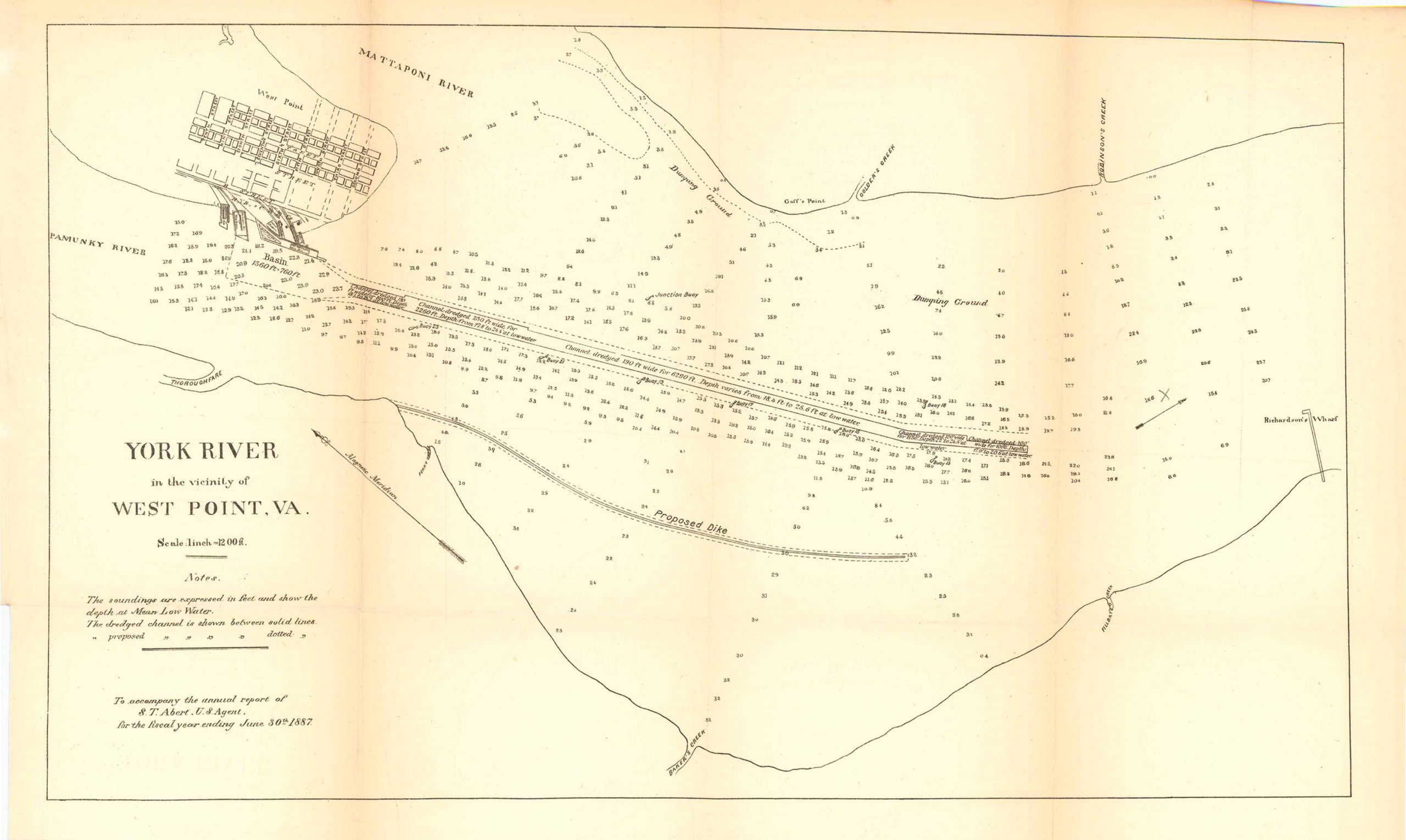
Map of York River in the Vicinity of West Point, Virginia 1887
In stock
Map of York River in the Vicinity of West Point, Virginia; to accompany the annual report of S.T. Abert, U.S. Agent for the fiscal year ending on June 30th of 1887. This map features the Pamunkey River, the Mattaponi River, West Point, Guff’s Point, Golder’s Creek, Robinson’s Creek and Richardson’s Wharf.
Size: 17.5 x 10.25 inches
Condition: Very good
Map Maker: U.S. Corps of Engineers
Original Production Year: 1887
Coloring: Black & White
Year: 1887
Condition: Very good
Map Maker: U.S. Corps of Engineers
Original Production Year: 1887
Coloring: Black & White
Year: 1887
In stock


