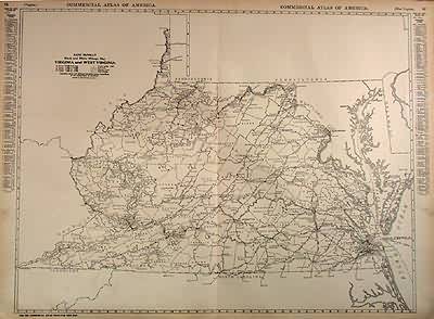
Rand McNally Black and White Milage Map of Virginia and West Virginia
In stock
This black and white Rand McNally mileage map of Virginia and West Virginiaa was made in 1921. Cities, important towns, counties, railroad lines, highways, and distances between major towns are identified.
Size: 25 x 19 inches
Condition: Very Good-tears in margin
Map Maker: Rand McNally
Coloring: Black and White
Year: 1921
Condition: Very Good-tears in margin
Map Maker: Rand McNally
Coloring: Black and White
Year: 1921
In stock


