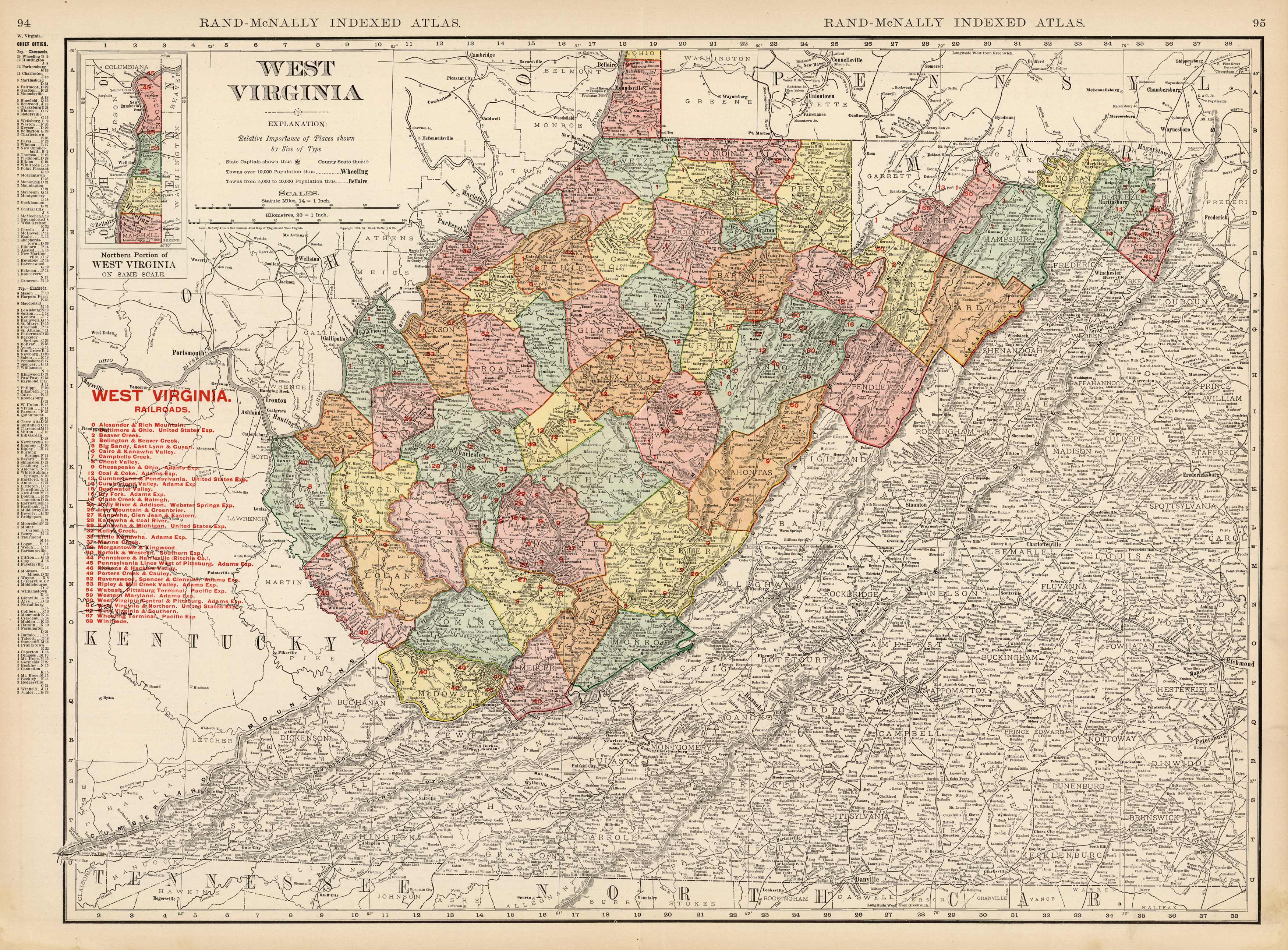
West Virginia
In stock
This large scale map came from the 1905 Rand-McNally Indexed Atlas. This multi-colored map of West Virginia shows counties, cities, towns, many topographical features, and all known rail roads in 1905. Rail roads ar alos listed in red on the map. This map is in very good condition and contains fantastic detailing.
Size: 26 x 19 inches
Condition: Very Good
Map Maker: Rand McNally
Coloring: Printed Color
Year: 1905
Condition: Very Good
Map Maker: Rand McNally
Coloring: Printed Color
Year: 1905
In stock


