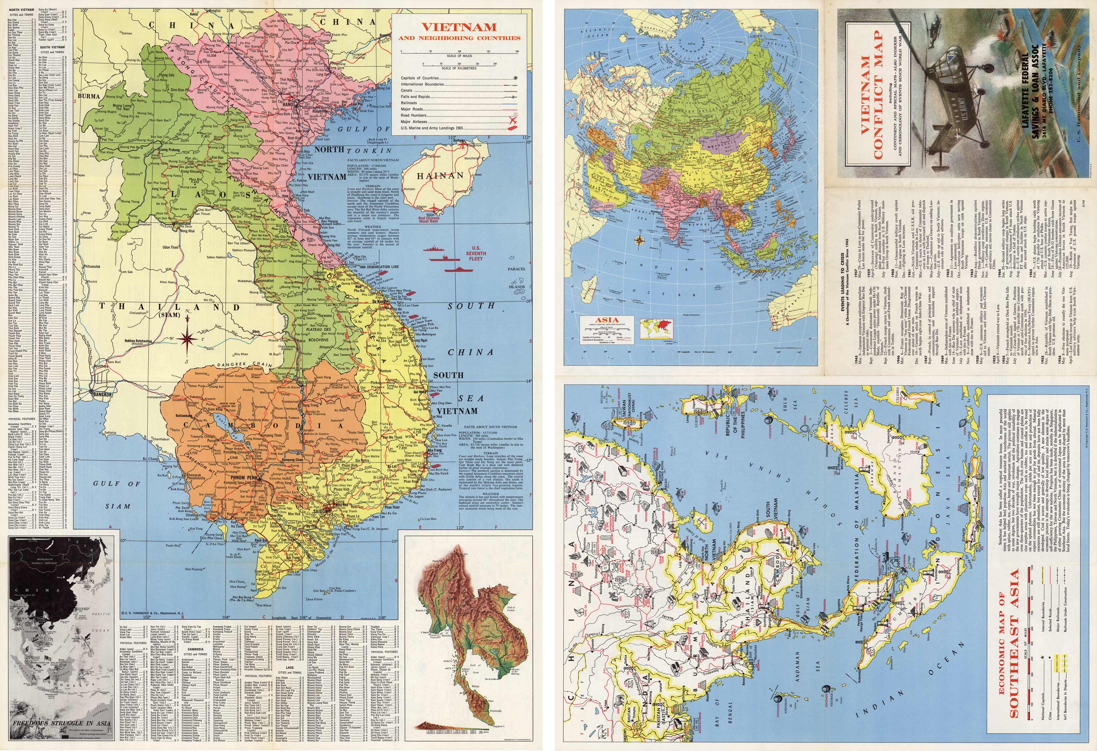
Vietnam Conflict Map including Continent and Special Maps – Also Indexes and Chronology of Events Since World War II
Out of stock
This colorful folded pocket map shows a large map of Vietnam and neighboring countries on one side, highlighting the capitals of countries, international boundaries, canals, falls and rapids, railroads, major roads, airbases, and U.S. Marine and Army Landings in 1965. The other side shows a map of Asia, an economic map of Southeast Asia, and a timeline of events leading to the Vietnam Conflict from 1945-1965.
Size: 20 x 28.25 inches
Condition: Very Good, light age toning
Map Maker: C.S. Hammond and Company
Coloring: Printed Color
Year: 1965
Condition: Very Good, light age toning
Map Maker: C.S. Hammond and Company
Coloring: Printed Color
Year: 1965
Out of stock


