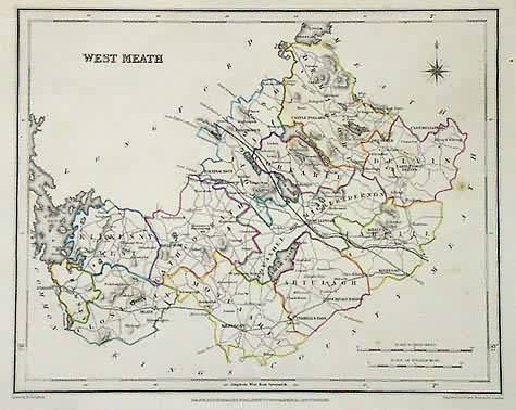
West Meath County, Ireland
In stock
Art Source is excited to offer you this rare county map of Ireland from “Lewis’s Atlas”, produced by the Samuel Lewis Company in 1846. The county of West Meath is shown on this map. The print details railroads, all towns and regions, topography, common roads, and rivers and lakes. This map has original outline color, a compass rose, and a diagram of both English and Irish scale of miles. Many of us can trace our heritage back to Ireland, making these maps both a collectors item and a valuable genelogical resource. In over 25 years of business we rarely run across maps of this fine quality.
Size: 9.5 x 7.5 inches
Condition: Excellent
Map Maker: Samuel Lewis
Coloring: Original Outline Color
Year: 1846
Condition: Excellent
Map Maker: Samuel Lewis
Coloring: Original Outline Color
Year: 1846
In stock


