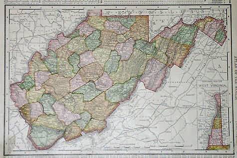
West Virginia
In stock
This map is from the Rand McNally Atlas of the World printed in 1895. Major cities, mountain ranges,rail lines, and rivers are shown. Inset map of the northern portion of West Virginia is located in the lower right corner.
Size: 12.5 x 9.25 inches
Condition: Very Good
Map Maker: Rand McNally
Coloring: Machine Coloring
Year: 1895
Condition: Very Good
Map Maker: Rand McNally
Coloring: Machine Coloring
Year: 1895
In stock


