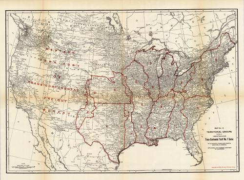
Westbound Trans-Continental Territorial Groups
In stock
Charles E. Wymond produced this “Atlas of Traffic Maps” in 1924. The Atlas contains maps covering routes and rate classification groupings of the various transportation agencies. Westbound Trans-Continental Territorial Groups are illustrated on this large, very detailed map. Cities, towns, geographic features, train stations, railroad lines, major roads, and localized industrial staples are also shown.
Size: 26.75 x 19 inches
Condition: Very Good
Map Maker: Charles E. Wymond
Coloring: Printed Color
Year: 1924
Condition: Very Good
Map Maker: Charles E. Wymond
Coloring: Printed Color
Year: 1924
In stock


