Western Hemisphere
In stock
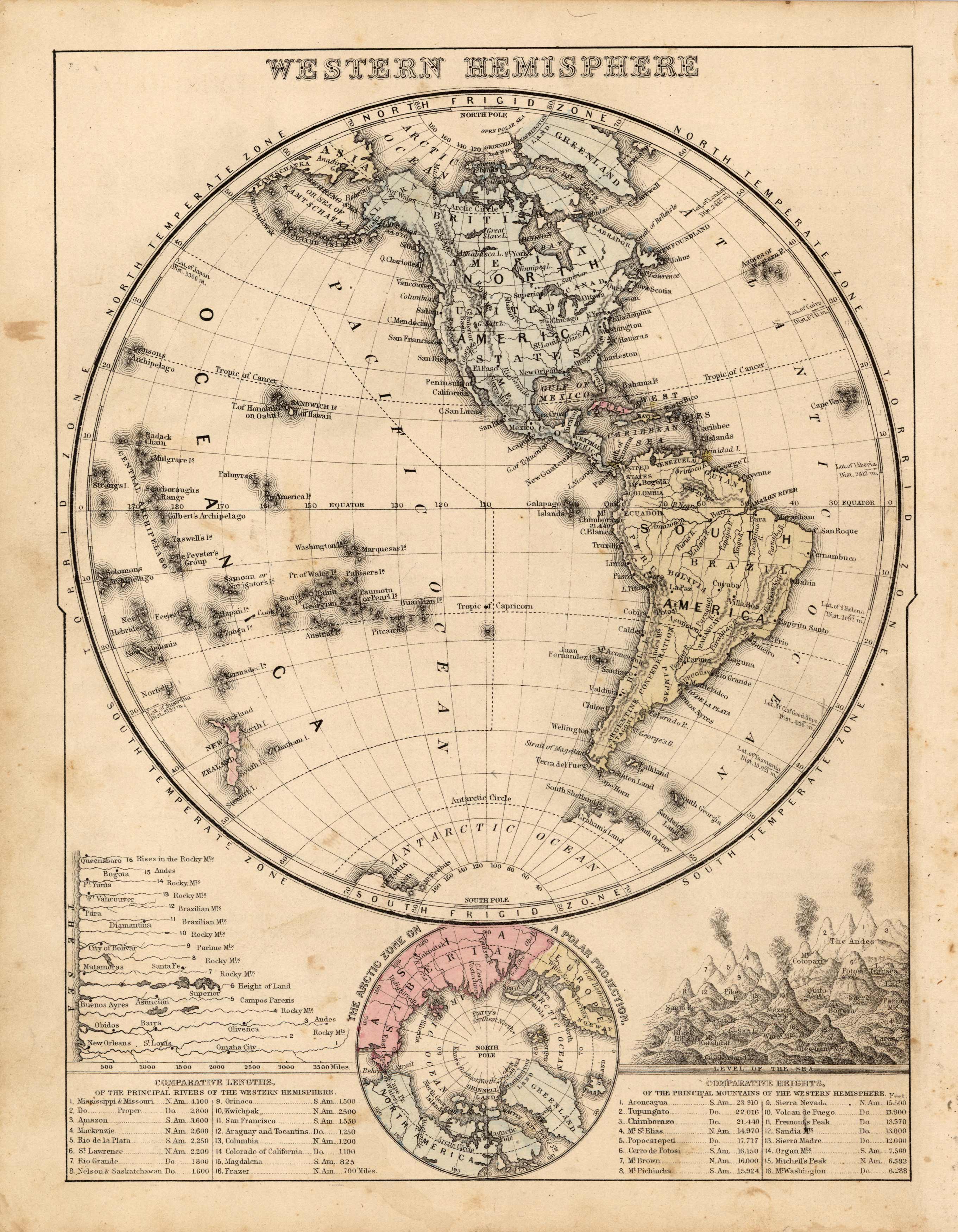
This map was produced by S.A. Mitchell in 1878 for his New Intermediate Geography. The map is nicely hand water-colored. Soon after this time period all maps were mass produced using printed color plates. This beautiful map of the Eastern Hemisphere has several elements that make it stand apart from the rest. The bottom half of the map includes the Anrtic Zone on a Polar Projection, showing portions of Siberia North America, Europe, and Greenland. There are also 2 illustrations with tables below: the first is the Comparative Lengths of the Principal Rivers of the Western Hemisphere, and the second is the Comparative Heights of the Principal Mountains of the Western Hemisphere.
Size: 8.5 x 11 inches
Condition: Very Good, light age toning and foxing
Map Maker: S. Augustus Mitchell
Coloring: Hand Colored, Steel Engraving
Year: 1881
Condition: Very Good, light age toning and foxing
Map Maker: S. Augustus Mitchell
Coloring: Hand Colored, Steel Engraving
Year: 1881
In stock


