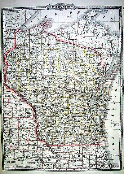
Wisconsin
In stock
As the 19th century was drawing to a close, American expansion was changing the continent with industrialization in the East and settlement in the West. This map published by Grants in the 1890 features unusually good detail for railroads, towns and cities of the time. This is an uncommon map of the area in good condition with a printed outline color that highlighted the railroads. Grants maps are wonderful resources especially for genealogists.
Size: 16 x 22 inches
Condition: Very Good
Map Maker: Grant
Coloring: Printed Color
Year: 1890
Condition: Very Good
Map Maker: Grant
Coloring: Printed Color
Year: 1890
In stock


