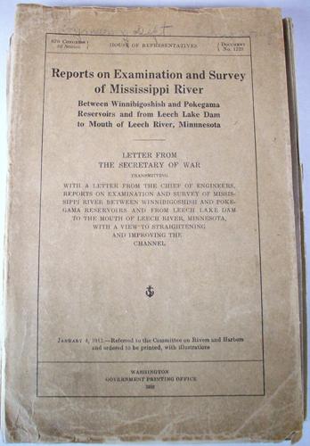
Reports on Examination and Survey of Mississippi River
In stock
Published in 1913 by the Washington Government Printing Office, this book contains 13 maps of the Mississippi River. These maps map the river between Winnibigoshish and Pokegama Reservoirs and from Leech Lake Dam to Mouth of Leech River, Minnesota. It includes a letter from the Secretary of War transmitting with a letter from the Chief of Engineers with a view to straightening and improving the channel. The maps are survey maps and maps with detailed topographic information on the Mississippi River. This book is in good condition with a worn and torn cover. The maps in the book are in very good condition.
Print Maker: Washington Government Printing Office
Year: 1913
Year: 1913
In stock


