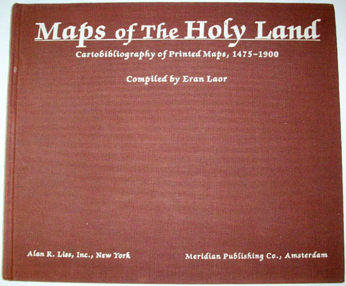
Maps of the Holy Land – Cartobibliography of Printed Maps, 1475-1900
In stock
Antique reference books on Cartography are especially hard to find, and ASI is proud to offer some of these rare books.Maps of the Holy Land – Cartobibliography of Printed Maps, 1475-1900″ was compiled in 1986 by Eran Laor based on the Eran Laor Collection at the Jewish National and University Library, Jerusalem. Includes numerous full-color map plats.”
Author: Eran Laor
Dimensions: 10.5 x 12.25 inches
Year: 1986
Dimensions: 10.5 x 12.25 inches
Year: 1986
In stock


