|
||
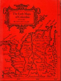
The Early Maps of Panama
Out of stock
Antique reference books on Cartography are especially hard to find, and ASI is proud to offer some of these rare books.This bibliography…is intended to list, as completely as possible, the earliest printed maps of Panama to 1825…The more significant maps from 1825 to 1860 are also included as, during this particular era, the international powers realised the importance and feasibility of a commercial communications route to connect the two oceans. From this realisation arose a great geographical interest in the Isthmus, which culminated with the building of the Panama Canal.””
Author: Department of the Interior
Dimensions: 9.75 x 7.25 inches
Pages: 22
Hardcover: No
Year: 1923
Dimensions: 9.75 x 7.25 inches
Pages: 22
Hardcover: No
Year: 1923
Out of stock