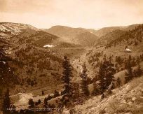
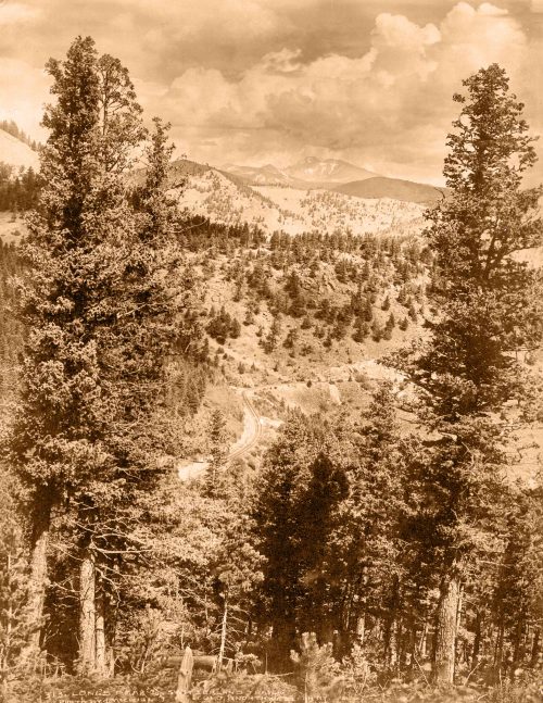
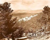
In the central foreground is a bench of the later terrace gravels trenched by Lou Creek. At the extreme right is the dip slope of the earlier terrace gravels, which also cap the hill from which the view is taken. The two gravel-covered mesas to the right of the center lie just beyond Cow Creek. Beyond these mesas is the valley of the Uncompahgre and beyond that is the slope covered by earlier gravels, rising to Horse Fly Peak, a small prominence on the sky line near the center of the view. At that point lie the older glacial gravels. The left half of the view embraces the hills of Mancos shale between Cow Creek and the Uncompahgre and, in the distance, the mountains west of Mount Sneffels.
Additional information
| Weight | 0.25 lbs |
|---|---|
| Dimensions | 5 × 20 × 0.002 in |
Photographer: Unknown
Town Name: Ouray
Year: 1907
Town Name: Ouray
Year: 1907


