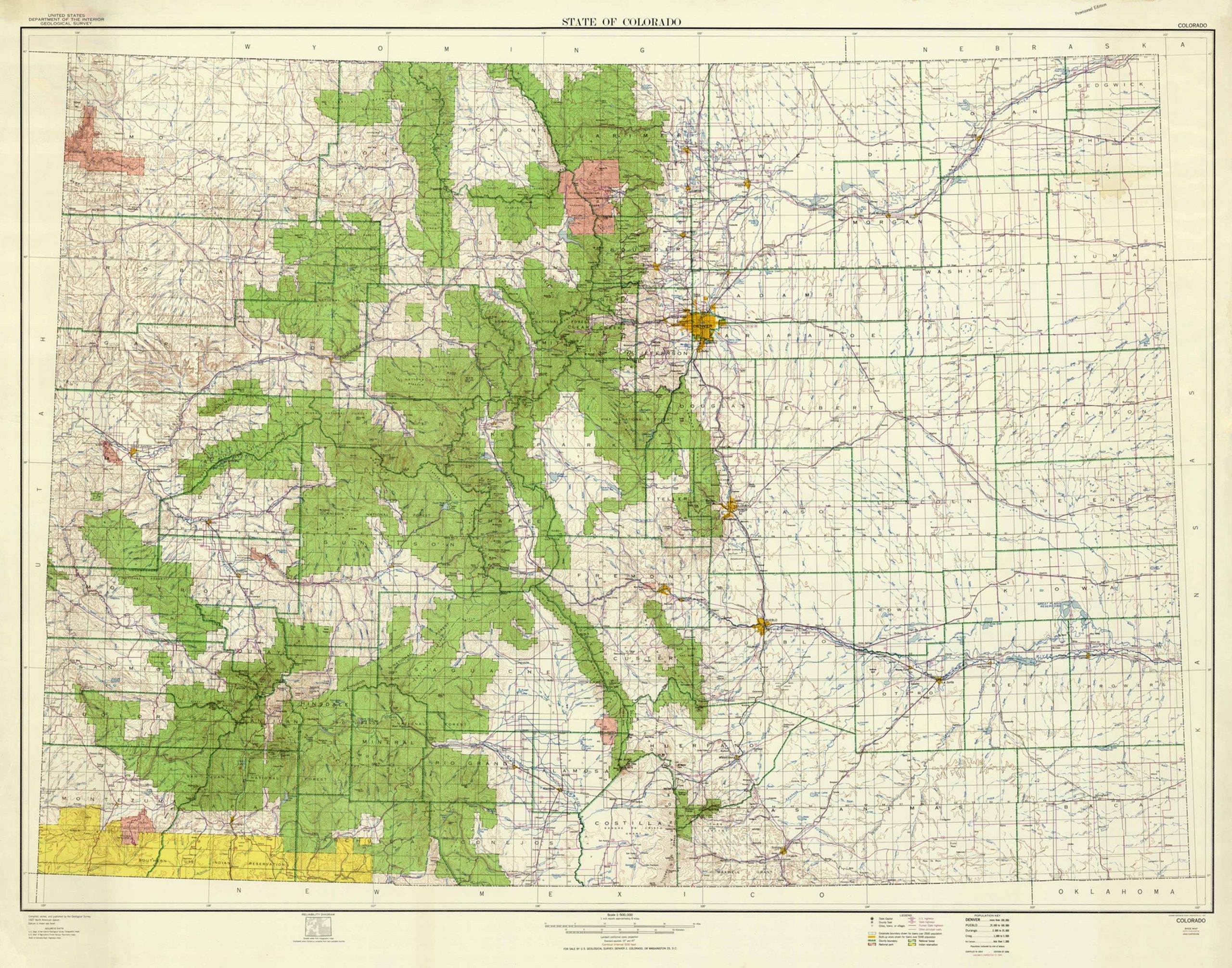
Printed in 1957, this topographical map of the entire state of Colorado was compiled by the Department of the Interior, Geological Survey. Filled with topographical detail and land contours, other details include roads, highways (U.S and state), cities, towns, national parks, national forests, and Indian reservations. This large map would be a great framed, focal wall piece for any Colorado lover with its bold colors and detail.
Additional information
| Weight | 0.25 lbs |
|---|---|
| Dimensions | 14.1 × 18 × 0.002 in |
Town Name: COLORADO
Map Maker: United States Geological Survery
Year: 1957
Map Maker: United States Geological Survery
Year: 1957


