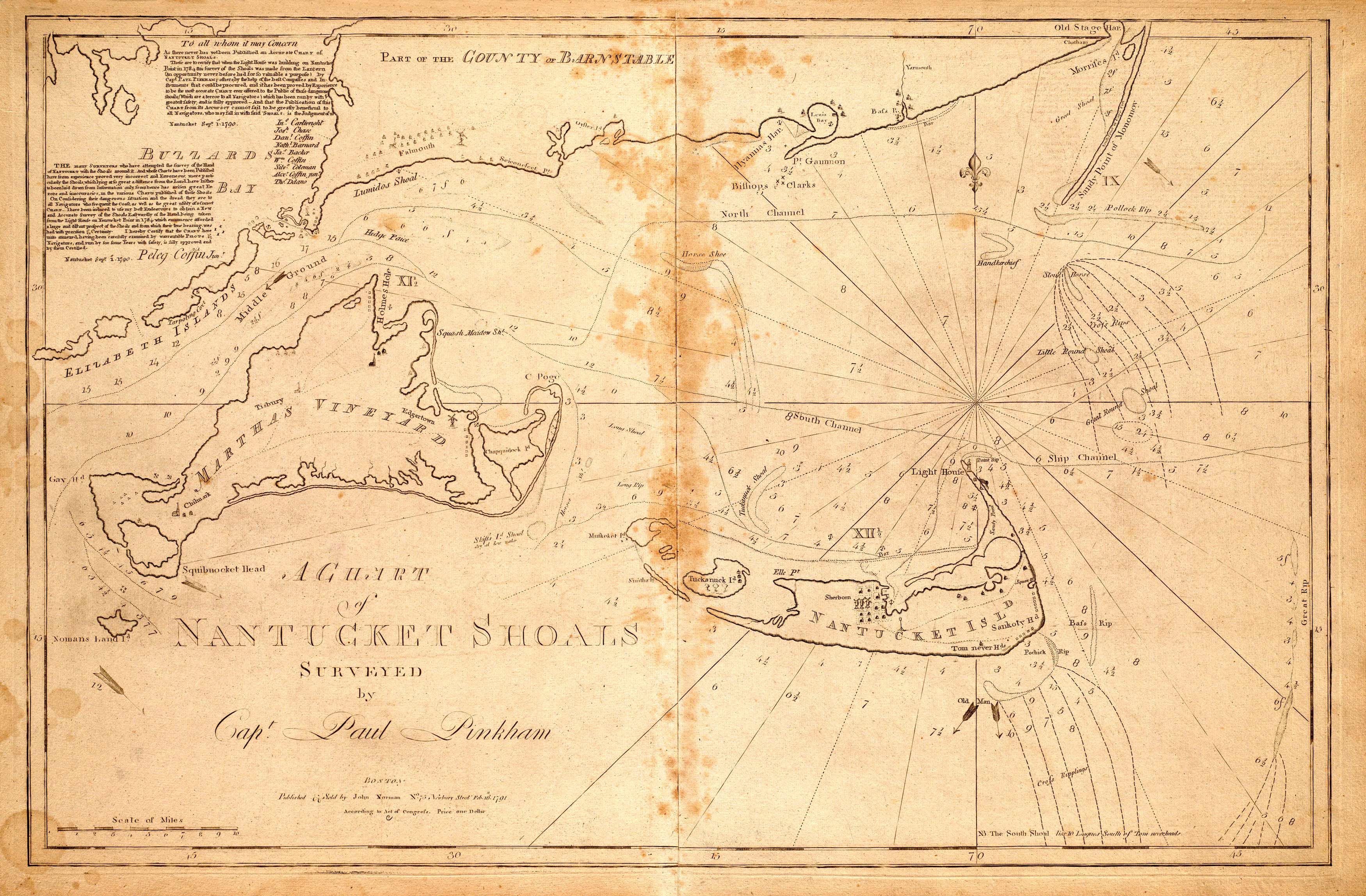
This 1791 chart shows the areas around Nantucket Shoals, Buzzard’s Bay, Martha’s Vineyard, and Elizabeth’s Island. This map was originally published in John Norman’s the American Pilot.” “
Additional information
| Weight | 0.25 lbs |
|---|---|
| Dimensions | 1.8 × 2.8 × 0.002 in |
Map Maker: Capt. Paul Pinkham & John Norman
Original Production Year: 1791
Original Production Year: 1791


