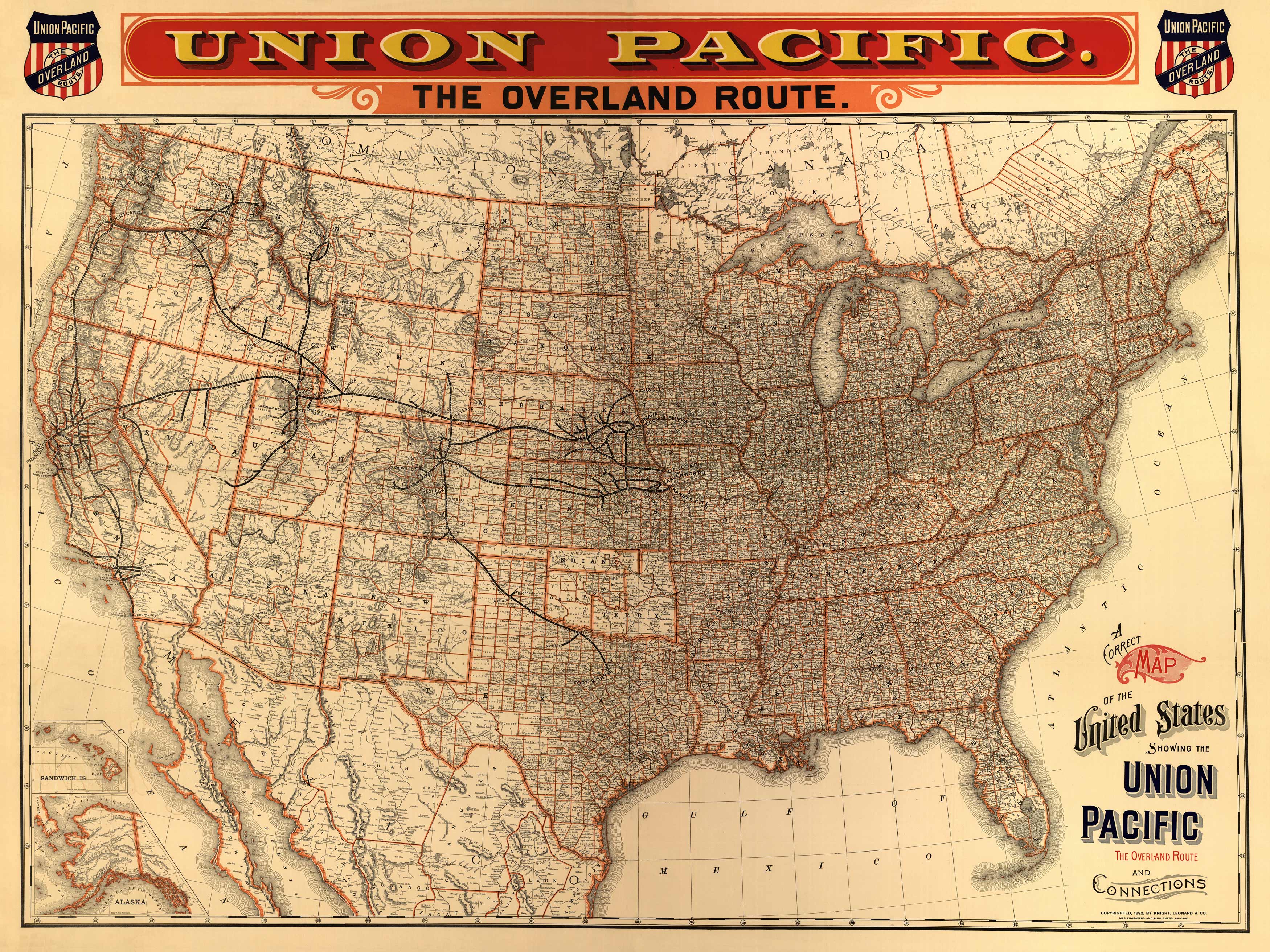
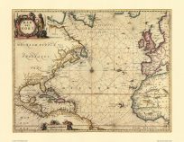
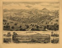
Across top of map: Union Pacific – The Overland Route. County map of the United States showing drainage, cities and towns, state and county boundaries, railroads, and railroads under construction. Also includes insets of the Sandwich Islands and Alaska.
Additional information
| Weight | 0.25 lbs |
|---|---|
| Dimensions | 17.5 × 24 × 0.002 in |
Map Maker: Knight, Leonard & Company
Original Production Year: 1892
Original Production Year: 1892


