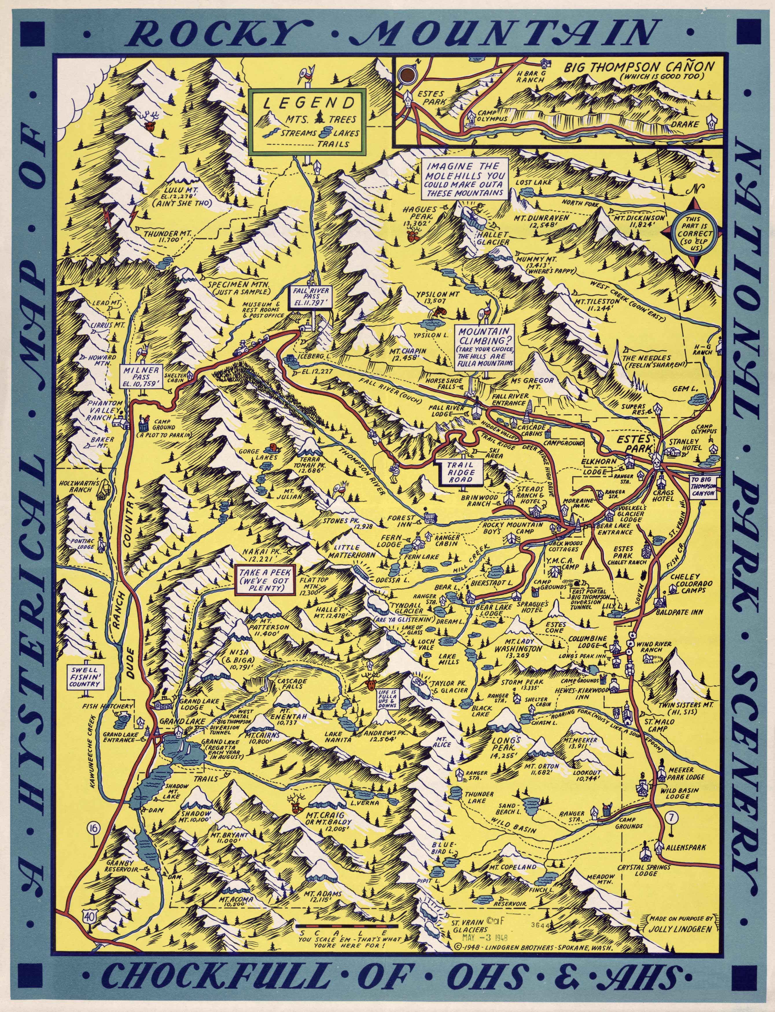
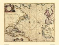
This map of Rocky Mountain National Park was done by Jolly Lindgren in 1948. It’s a beautiful pictorial map showing mountains, rivers & creeks, and important landmarks as well as humorous text & illustrations throughout the map. It also includes an inset of the Big Thompson Canyon.
Additional information
| Weight | 0.25 lbs |
|---|---|
| Dimensions | 36 × 27.5 × 0.002 in |
Map Maker: Lindgren Brothers
Original Production Year: 1948
Original Production Year: 1948


