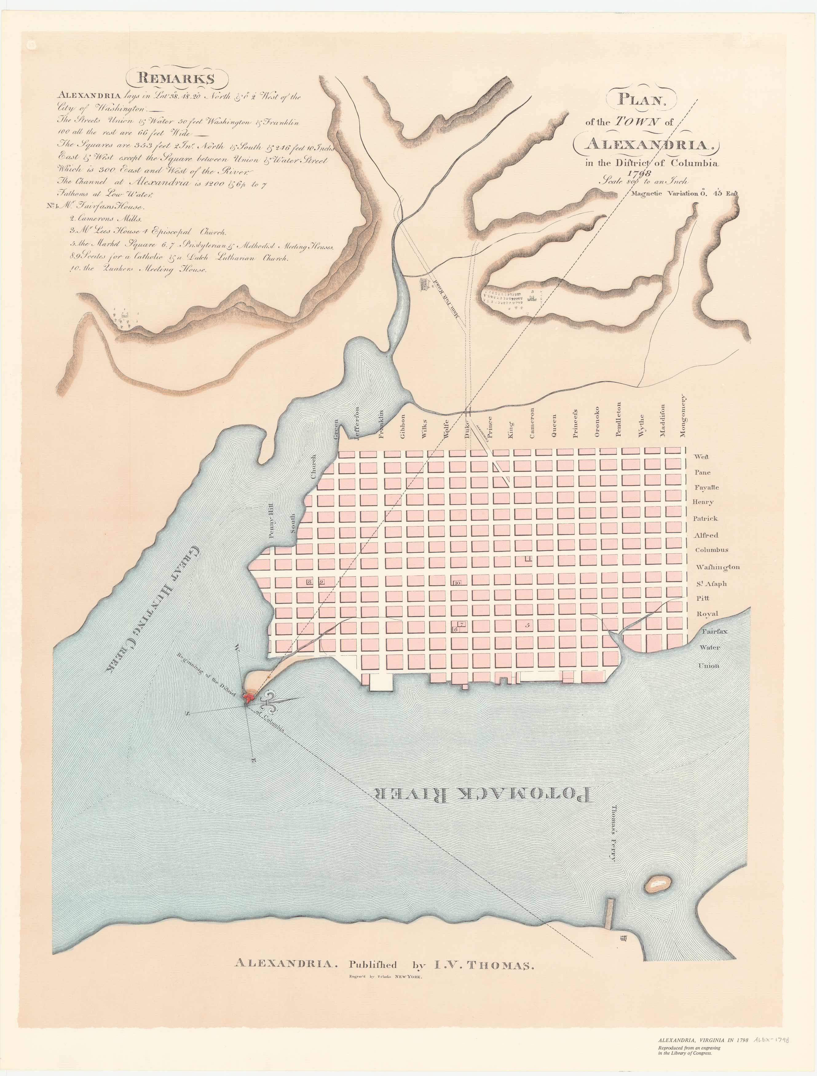
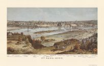
Surveyed in 1749 by John West and George Washington, this Virginia town soon outgrew its original boundaries. This plan published by I.V. Thomas of New York is a fine example of late 18th century urban cartography.
Additional information
| Weight | 0.25 lbs |
|---|---|
| Dimensions | 24 × 18.4 × 0.002 in |
Map Maker: I.V. Thomas
Original Production Year: 1798
Original Production Year: 1798


