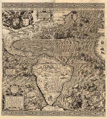
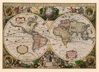
In 1562 Diego Guti�rrez, a Spanish cartographer from the respected Casa de la Contrataci�n, and Hieronymus Cock, a noted engraver from Antwerp, collaborated in the preparation of a spectacular and ornate map of what was then referred to as the fourth part of the world, America. It was the largest engraved map of America to that time. The map depicts the eastern coast of North America, all of Central and South America, and portions of the western coasts of Europe and Africa. Six engravedsheets are neatly joined to form a single map. It is apparent that one of the intentions in preparing the map was to define clearly Spain’s America for the other European powers who might have designs on the region. Includes texts in cartouche, statements of dedication, coats-of-arms, an illustration of the allegorical figure Victoria”, and illustrations of sailing ships at sea and imaginary marine creatures.”
Additional information
| Weight | 0.25 lbs |
|---|---|
| Dimensions | 20 × 18 × 0.002 in |
Map Maker: Diego Gutierrez / Hieronymus Cock
Original Production Year: 1562
Original Production Year: 1562


