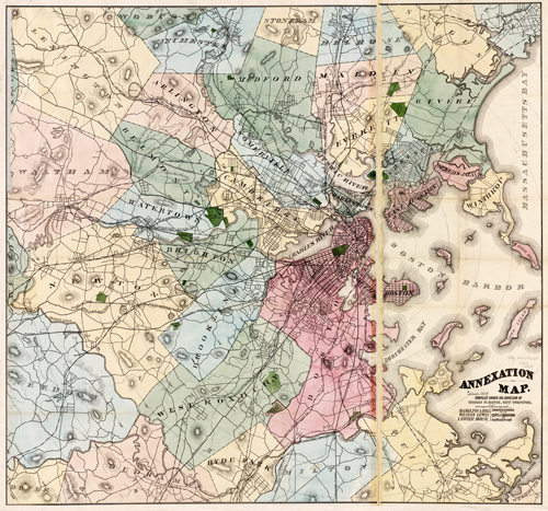
This annexation map by Thomas W. Davis shows Boston in 1873. It goes as far south as Milton, as far west as Lexington, as far north as Stoneham, and as far east as Winthrop and Deer Island. The map labels ponds, cemeteries, streets, gardens, islands, Boston Harbor, railroads, and more.
Additional information
| Weight | 0.25 lbs |
|---|---|
| Dimensions | 28.8 × 30.9 × 0.002 in |
Map Maker: Davis, Thomas W.
Original Production Year: 1873
Original Production Year: 1873


