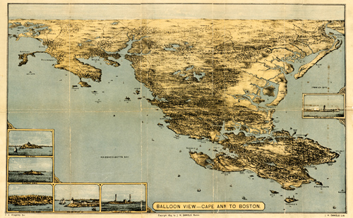
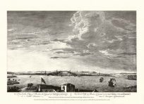
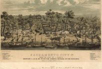
This spectacular look of Cape Ann to Boston shows numerous islands, coves, bays, beaches, lighthouses, and more. It stretches as far west as Salisbury and Newport and as far east as Boston. The map contains six different insets: Egg Rock, Half-Way Rock, Norman’s Woe Rock, Thacher’s Island, and Plum Island Lighthouse.
Additional information
| Weight | 0.25 lbs |
|---|---|
| Dimensions | 8.5 × 13.5 × 0.002 in |
Map Maker: J.H. Daniels
Original Production Year: 1879
Original Production Year: 1879


