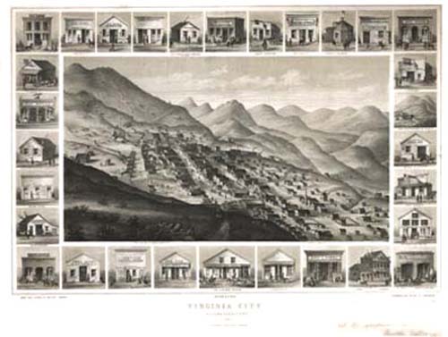
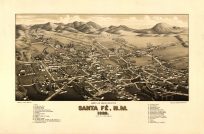
Panoramic city maps, popular at the turn of the century, depicted U.S. towns from the perspective that came to be known as bird’s-eye maps. These non-photographic old maps, depicted from oblique angles, showed street patterns, buildings and the predominant surrounding landscape in perspective. Going to great lengths to make these maps, artists would often climb surrounding hills or trees, sometimes even building platforms from which to achieve the bird’s eye” perspective. They also used to take rides in hot air balloons in order to get the proper perspective. To bolster sales of these old panoramic city maps, the artists would often choke town harbors full of ships, include proposed building developments and depict a vivacious, bustling industry. Historically interesting and beautifully drawn, it is no wonder these old panoramic city maps are making a popular comeback. Bring the spirit of your town’s history back to life with these stunning old bird’s-eye maps.”
Additional information
| Weight | 0.25 lbs |
|---|---|
| Dimensions | 18 × 24 × 0.002 in |
Map Maker: Grafton T. Brown
Original Production Year: 1861
Original Production Year: 1861


