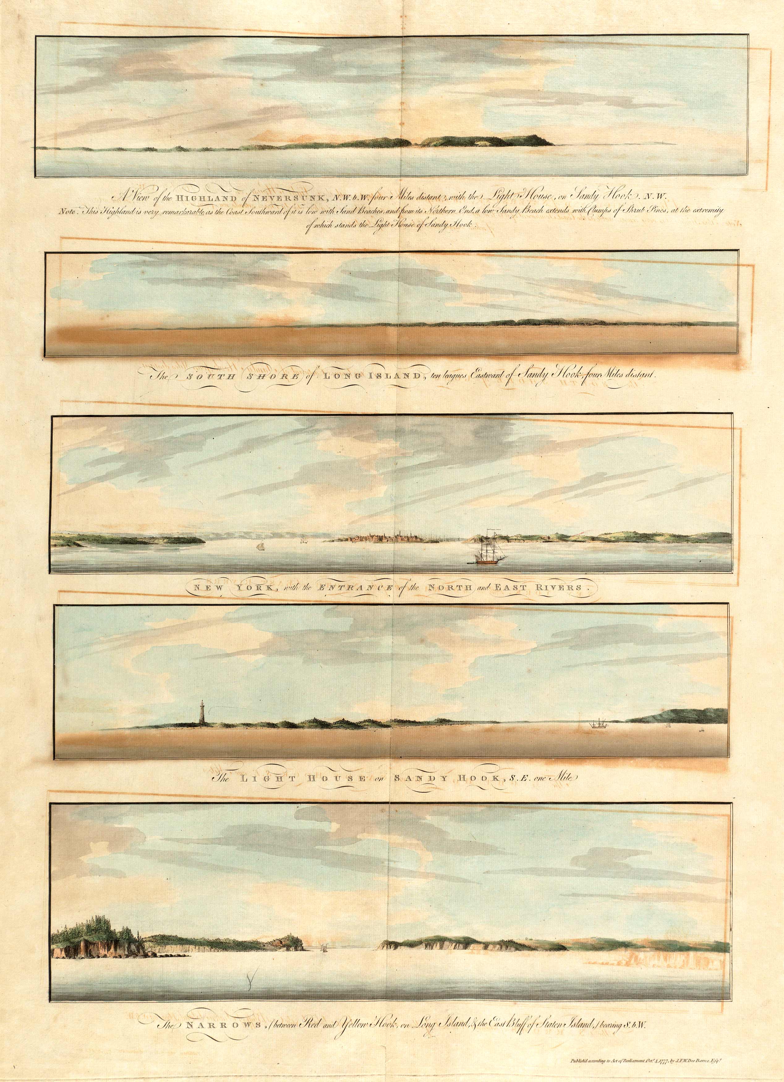
This 1777 piece by Des Barres provides a view of the shores surrounding the Sandy Hook and Long Island. It shows New York near the entrance of the North and East Rivers, the lighthouse at Sandy Hook, and the Narrows near Staten Island.Des Barres created the Atlantic Neptune which was a four volume map series of North America in the eighteenth century. He surveyed most of the Newfoundland and New York areas, with his survey of Nova Scotia taking him ten years. Of this task, he wrote, There is scarcely any known shore so much intersected with Bays, Harbours, and Creeks as this is,” and, “and the Offing of it is so full of Islands, Rocks, and Shoals as are almost innumerable.””
Additional information
| Weight | 0.25 lbs |
|---|---|
| Dimensions | 16.5 × 12 × 0.002 in |
Map Maker: J.F.W. Des Barres
Original Production Year: 1777
Original Production Year: 1777


