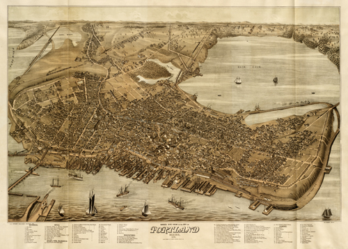
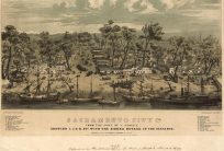
This aerial view of Portland, Maine by Jos. Warner shows the area as it was in 1876. The map indicates the jail, City Hall, the Post Office, the hospital, various hotels, churches, hotels, wharves, piers, ponds, rivers, streets, and factories. When this map was made, Portland, Maine had 31,000 people living there.
Additional information
| Weight | 0.25 lbs |
|---|---|
| Dimensions | 22 × 31 × 0.002 in |
Map Maker: Warner, Jos.
Original Production Year: 1876
Original Production Year: 1876


