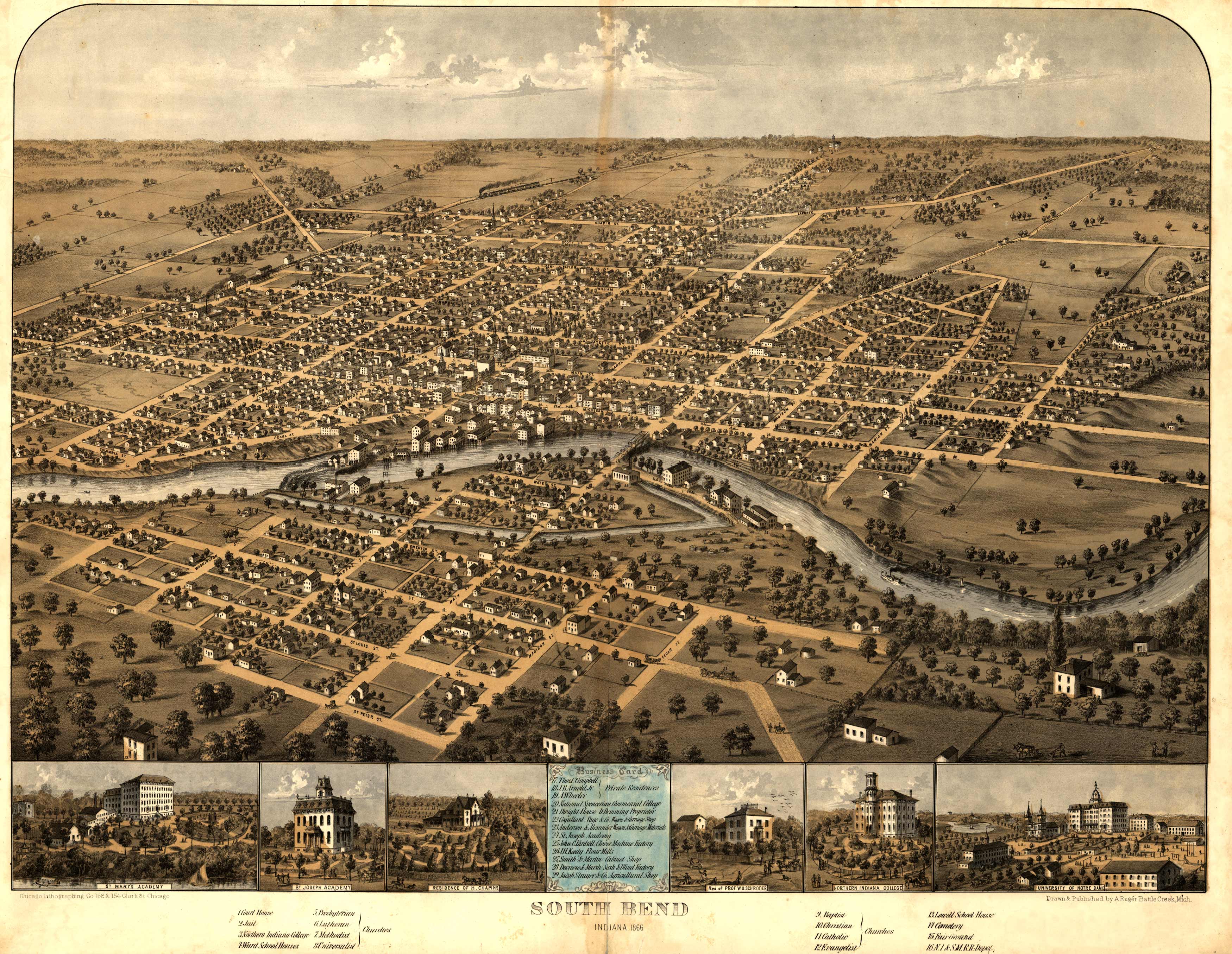
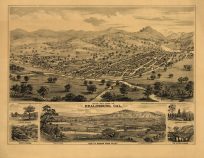
This bird’s-eye view of South Bend, Indiana was originally created in 1866. It includes an index to points of interest, including the University of Notre Dame.
Additional information
| Weight | 0.25 lbs |
|---|---|
| Dimensions | 18.7 × 24 × 0.002 in |
Map Maker: A. Ruger
Original Production Year: 1866
Original Production Year: 1866


