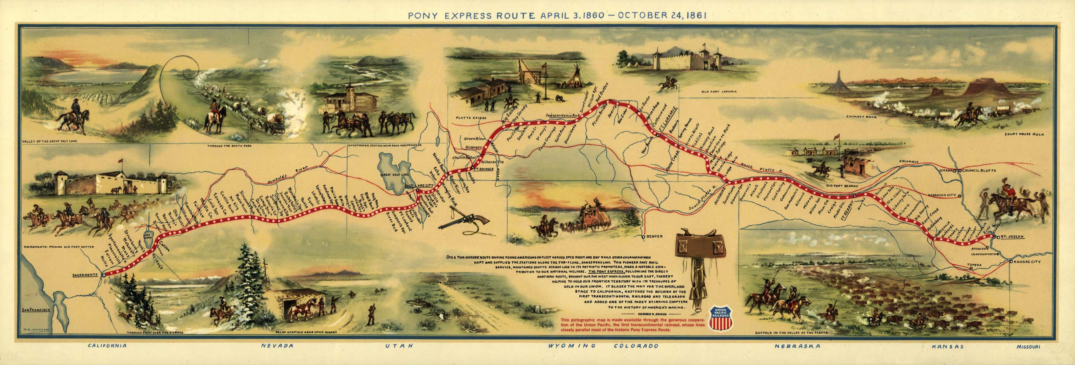
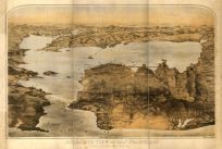
This pictorial map shows the Pony Express route from April 3, 1860 through October 24, 1861. This map was done by William Henry Jackson & Howard Driggs, and issued by the Union Pacific Railroad Company in commemoration of the Pony Express Centennial(April 2, 1960). It shows the Pony Express route with illustrations, names and locations of relay stations and landmarks. The 1,966 mile trail ran from St. Joseph, Missouri to Sacramento, California, through Missouri, Kansas, Nebraska, Colorado, Wyoming, Utah, Nevada, and California.
Additional information
| Weight | 0.25 lbs |
|---|---|
| Dimensions | 15 × 44 × 0.002 in |
Map Maker: William H. Jackson
Original Production Year: 1960
Original Production Year: 1960


