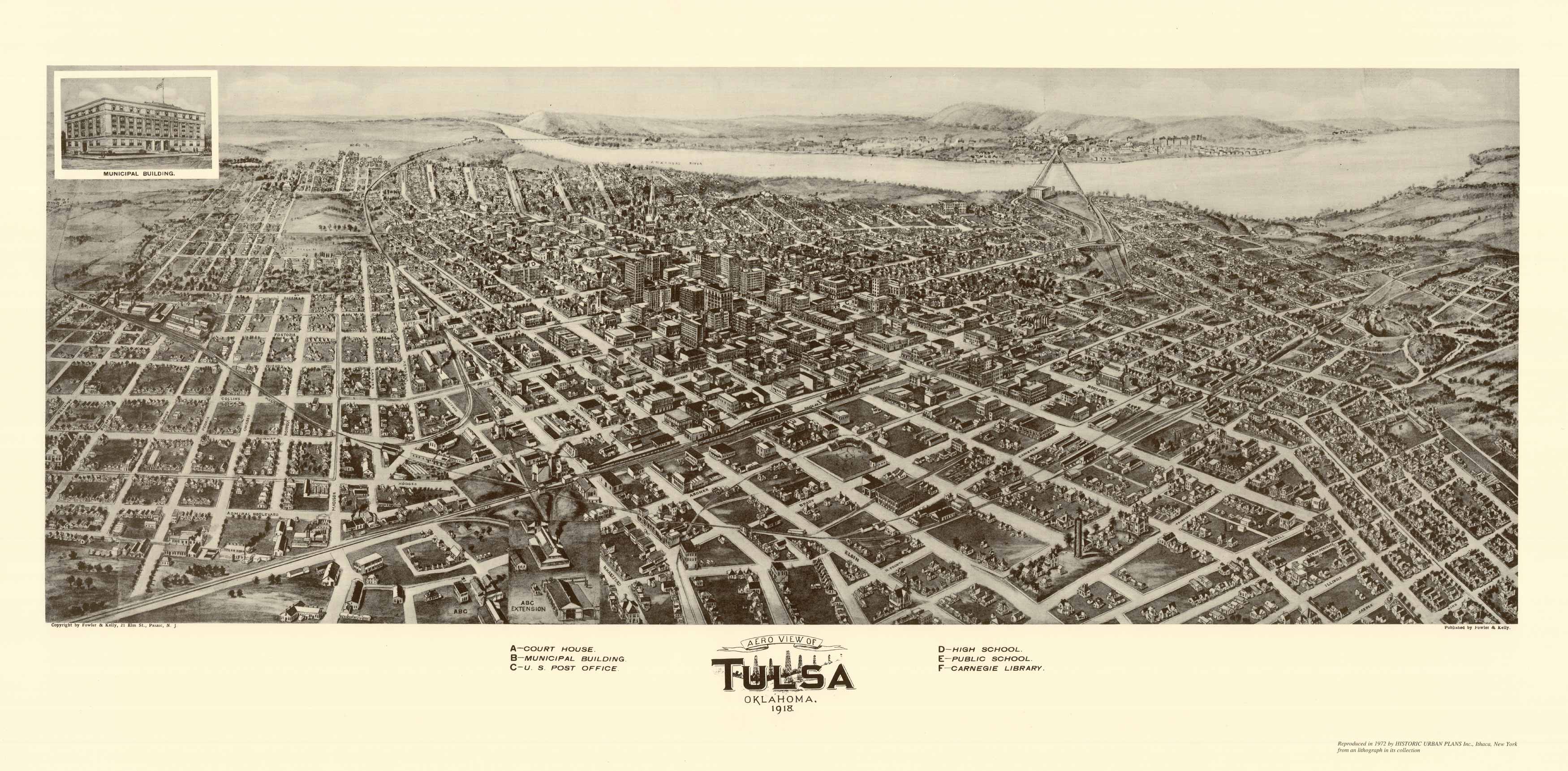
This map of Tulsa, Oklahoma was created by Thaddeus M. Fowler, in 1818. The town was planned by J. Gus Patton under the direction of a federal town site commission on land formerly occupied by the Creek Indian Nation. The discovery of oil nearby provided the impetus for its prosperity and rapid growth.
Additional information
| Weight | 0.25 lbs |
|---|---|
| Dimensions | 10.3 × 24 × 0.002 in |
Map Maker: Thaddeus M. Fowler
Original Production Year: 1818
Original Production Year: 1818


