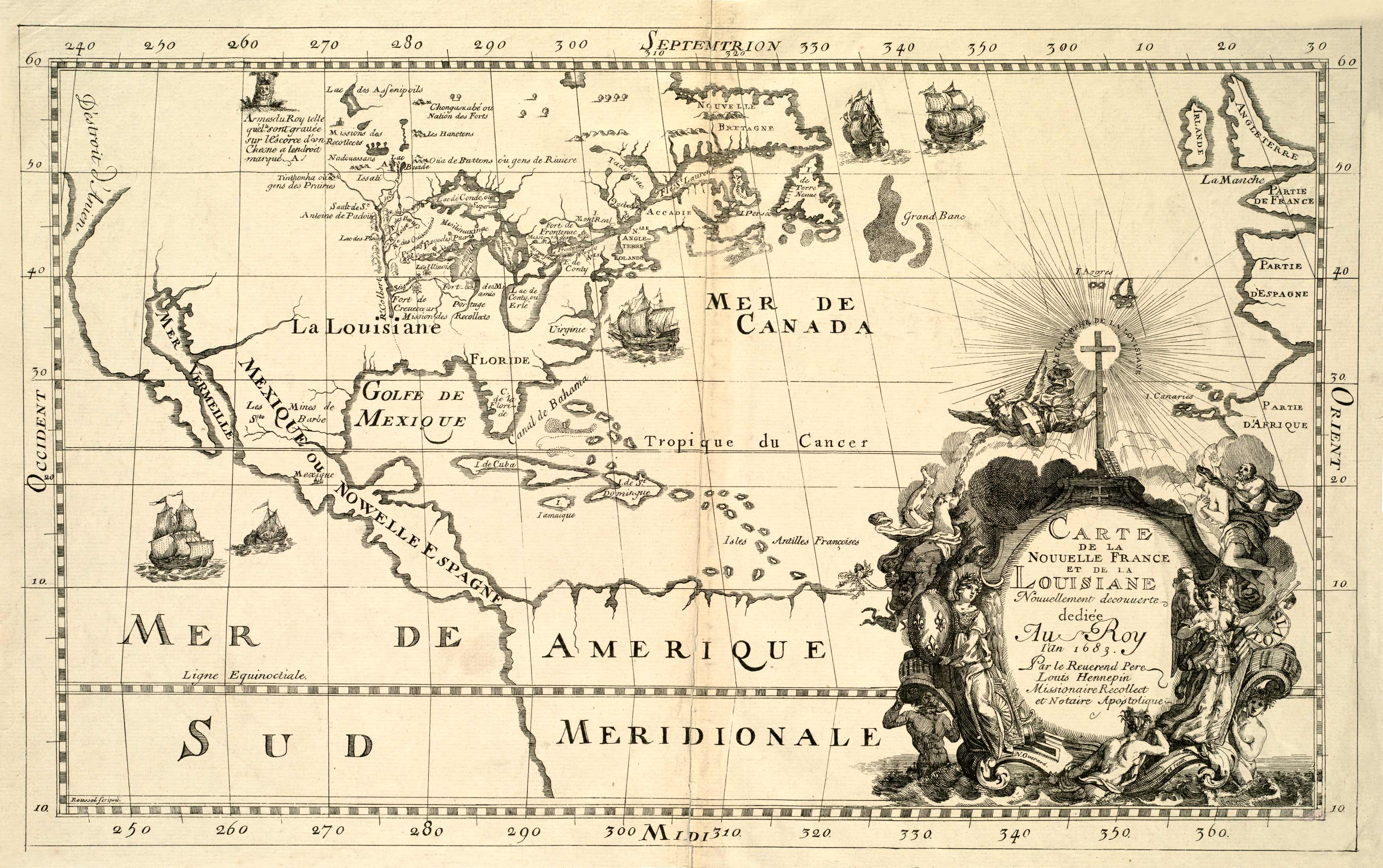
This 1683 map by Guerard and Hennepin shows the United States and Canada with focus on Florida, Louisiana, Quebec, and Montreal. Also labeled are the Bahamas, Cuba, Jamaica, and Mexico. In the east, the map shows Ireland, France, Spain, and Africa. It shows Lake Superior, Lake Erie, and Lake Huron. The map’s title is embellished with a cross, winged cherubs holding a shield, and other figures from mythology.
Additional information
| Weight | 0.25 lbs |
|---|---|
| Dimensions | 17 × 27 × 0.002 in |
Map Maker: Nicholas Guerard, Louis Hennepin
Original Production Year: 1683
Original Production Year: 1683


