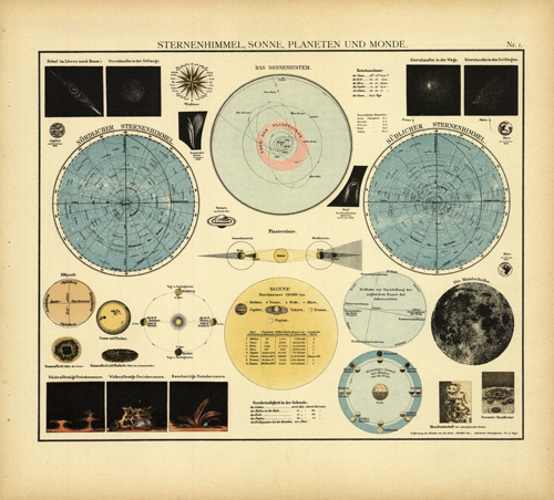
This map, produced by Alfred W. Berg, was issued as part of his Atlas Universal in 1905. The original maps are wonderfully engraved. This beautiful planetary/celestial poster breaks down the solar system showing the Moon, Sun, Solar System and Planetary alignments. There are also individual planets illustrated throughout with the date of observation underneath them.
Additional information
| Weight | 0.25 lbs |
|---|---|
| Dimensions | 11.5 × 13.5 × 0.002 in |
Town Name: SPACE
Map Maker: Alfred W. Berg
Year: 1905
Map Maker: Alfred W. Berg
Year: 1905


