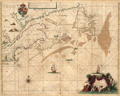
This 1675 map by John Seller shows shoals, soundings, and various islands off the coasts of Nova Scotia and Newfoundland. It shows Charlestown, Boston, Salem, and what once was New Scotland, New France, and New England. The map contains three different scales: English and French, Dutch, and Spain. Illustrations of animals native to the areas are also shown.
Additional information
| Weight | 0.25 lbs |
|---|---|
| Dimensions | 22.5 × 28 × 0.002 in |
Map Maker: John Seller
Original Production Year: 1675
Original Production Year: 1675


