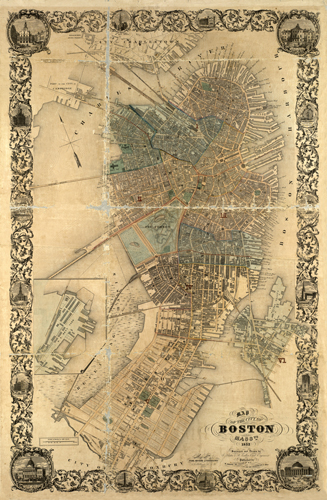
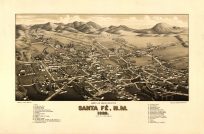
This 1852 map by Slatter depicts the Boston area. It shows neighborhood grids, street names, churches, asylums, wharves, railroad lines, depots, cemeteries, the hospital, the jail, theaters, distilleries, and more. In the north, parts of Charlestown and Cambridge are also shown, and in the south, Roxbury is identified. Along the margins, sixteen different monumental buildings are illustrated, including the State House, Summer Street Unitarian Church, and City Hall.
Additional information
| Weight | 0.25 lbs |
|---|---|
| Dimensions | 34 × 22 × 0.002 in |
Map Maker: Slatter, J.
Original Production Year: 1852
Original Production Year: 1852


