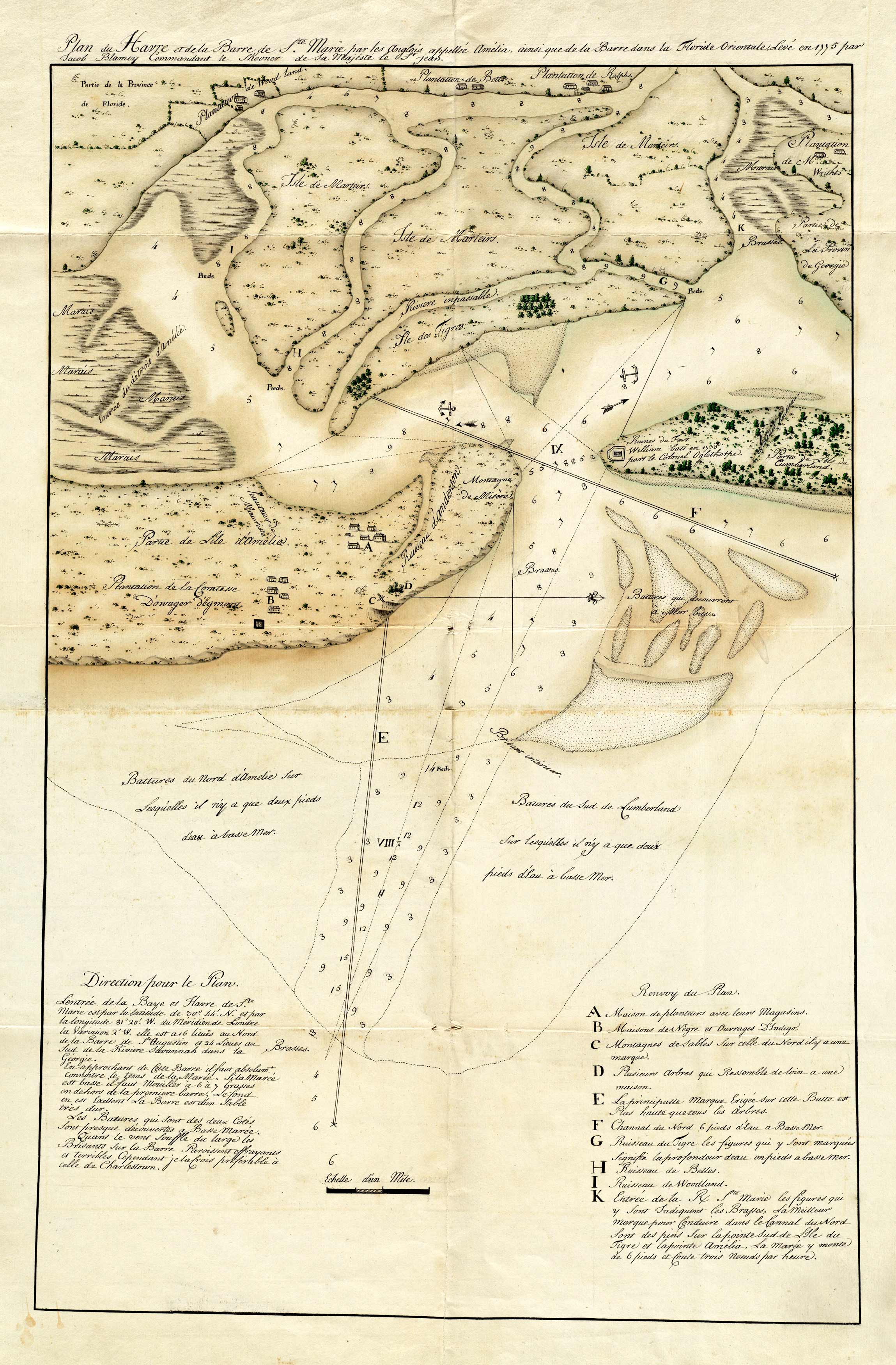
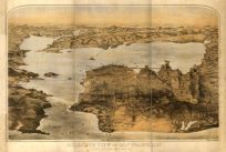
This 1775 chart by Blamey features plans for Amelia Island in Florida. It shows Egmont’s Plantation, Mount Misery, Morriss Bluff, and a Beacon. Other plantations shown include Woodland’s Plantation, Bell’s Plantation, and Ralph’s Plantation. The map contains directions, a key with ten locations, and sounding information. From the Revolutionary War Era, this map offers a rare glimpse of plantations throughout Florida.
Additional information
| Weight | 0.25 lbs |
|---|---|
| Dimensions | 28 × 18 × 0.002 in |
Map Maker: Blamey, Jacob
Original Production Year: 1775
Original Production Year: 1775


