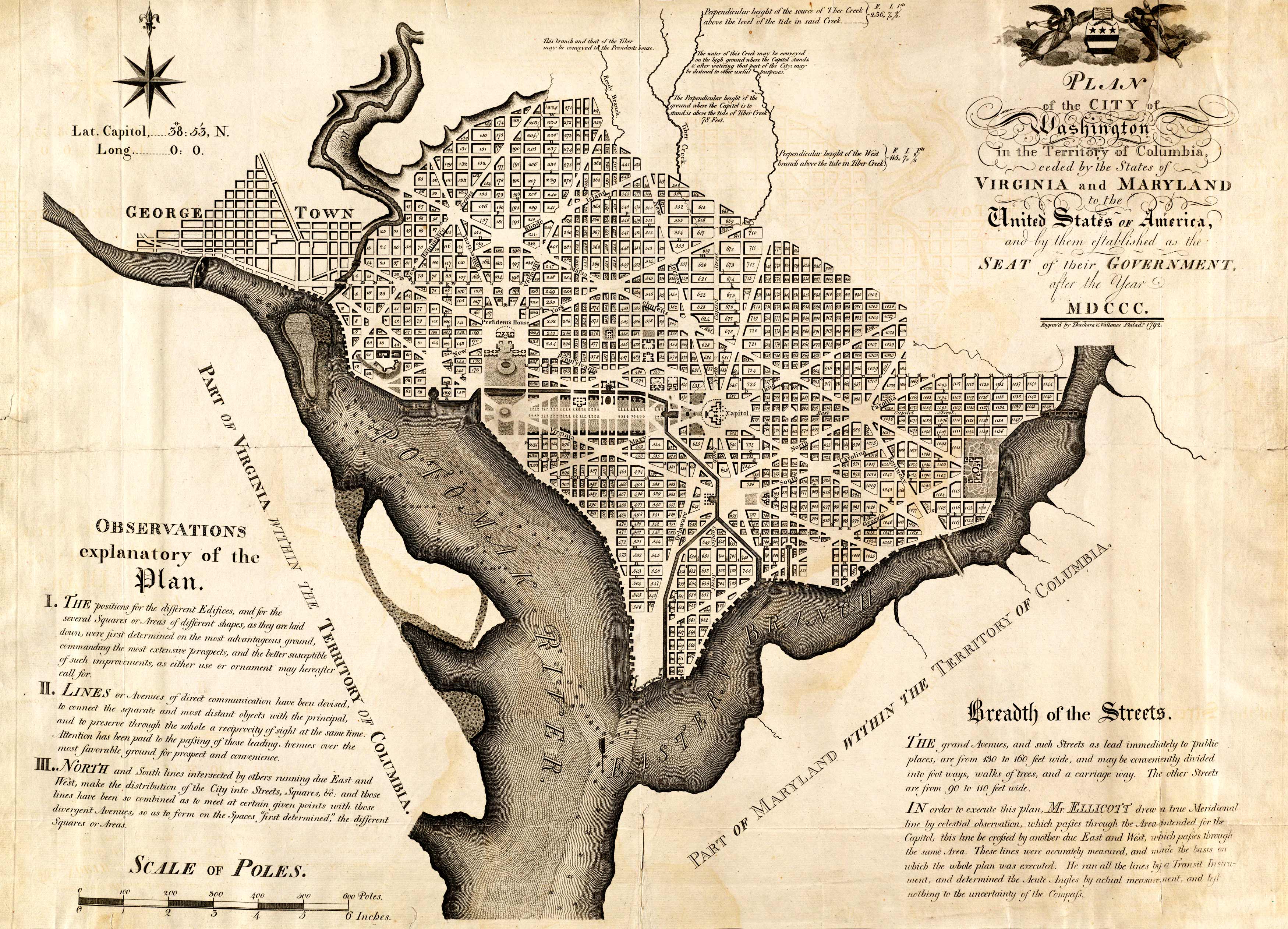
This 1792 plan of Washington shows block numbers, proposed government buildings, and parts of Georgetown; it contains text, notes, and coat-of-arms. Relief is shown by hachures.
This is the first official map of the city of Washington. This area remained unsettled for years,with Congress electing to meet in New York City; Philadelphia and Lancaster in Pennsylvania; Baltimore, Maryland;Princeton and Trenton, New Jersey. Andrew Ellicott conducted a topographical survey whilePierre L’Enfant developed the city itself; eventually, L’Enfant was fired from this task, due to conflicting opinions of the development of the city, but Ellicott continuedto incorporate L’Enfant’s plans on his manuscript. L’Enfant’s draft included canals. Ellicott’s vision was largely taken from European models; it incorporated wide streets, canals, and a picturesque location by the river. At this time, the government had 200 employees, and the national government was only 3 years old. The capital was originally planned to be in Philadelphia, Pennsylvania.
Additional information
| Weight | 0.25 lbs |
|---|---|
| Dimensions | 16 × 22 × 0.002 in |
Map Maker: ELLICOTT, ANDREW
Original Production Year: 1792
Original Production Year: 1792


