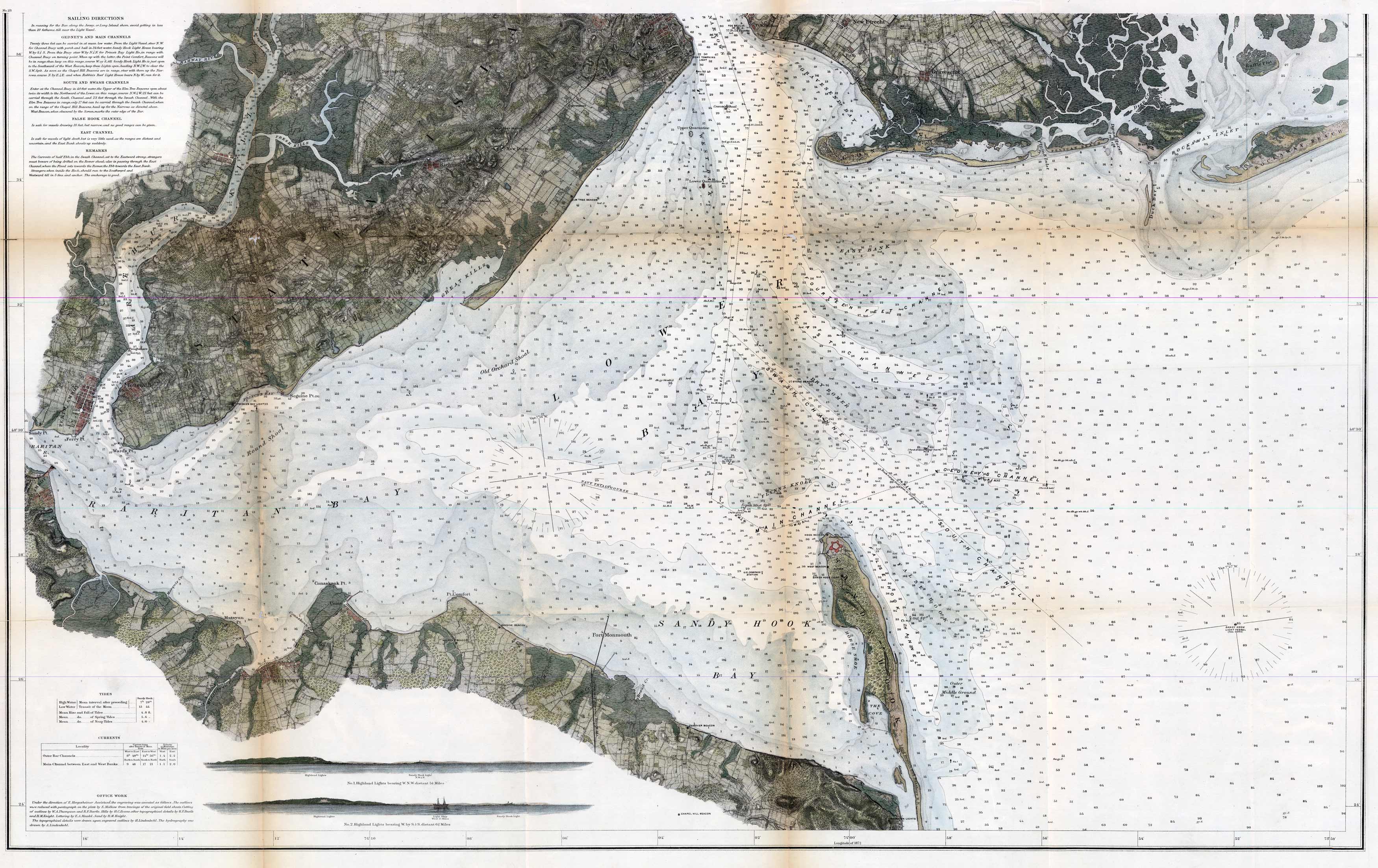
This U.S. Coast Survey features Sandy Hook Bay, Raritan Bay, and the lower portions of Staten and Coney Island. The map provides sailing directions for Gedneys and Main Channels, South and Swash Channels, False Hook Channel, East Channel, and commentary for sailing through those locations. Current and tidal information is also shown. The map also illustrates geographic information for the surrounding countryside.
Additional information
| Weight | 0.25 lbs |
|---|---|
| Dimensions | 25 × 40 × 0.002 in |
Town Name: NEW YORK, NEW JERSEY
Map Maker: U.S. Coast Survey
Year: 1841
Map Maker: U.S. Coast Survey
Year: 1841


