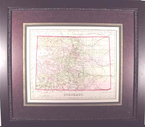
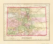
This is a handsomely framed modern reproduction of a map originally made in 1881 by O.W Gray & Son. Bright pastel coloring differentiates each county, while a bright red traces the outline of the state. Railroads, transportation routes, mountains, cities, towns and indian reservations are noted. It is interesting to see how state features such as county lines and names have changed in the last 100 years.
Additional information
| Weight | 0.25 lbs |
|---|---|
| Dimensions | 22.75 × 26.75 × 0.002 in |
Map Maker: Gray
Original Production Year: 1881
Original Production Year: 1881


