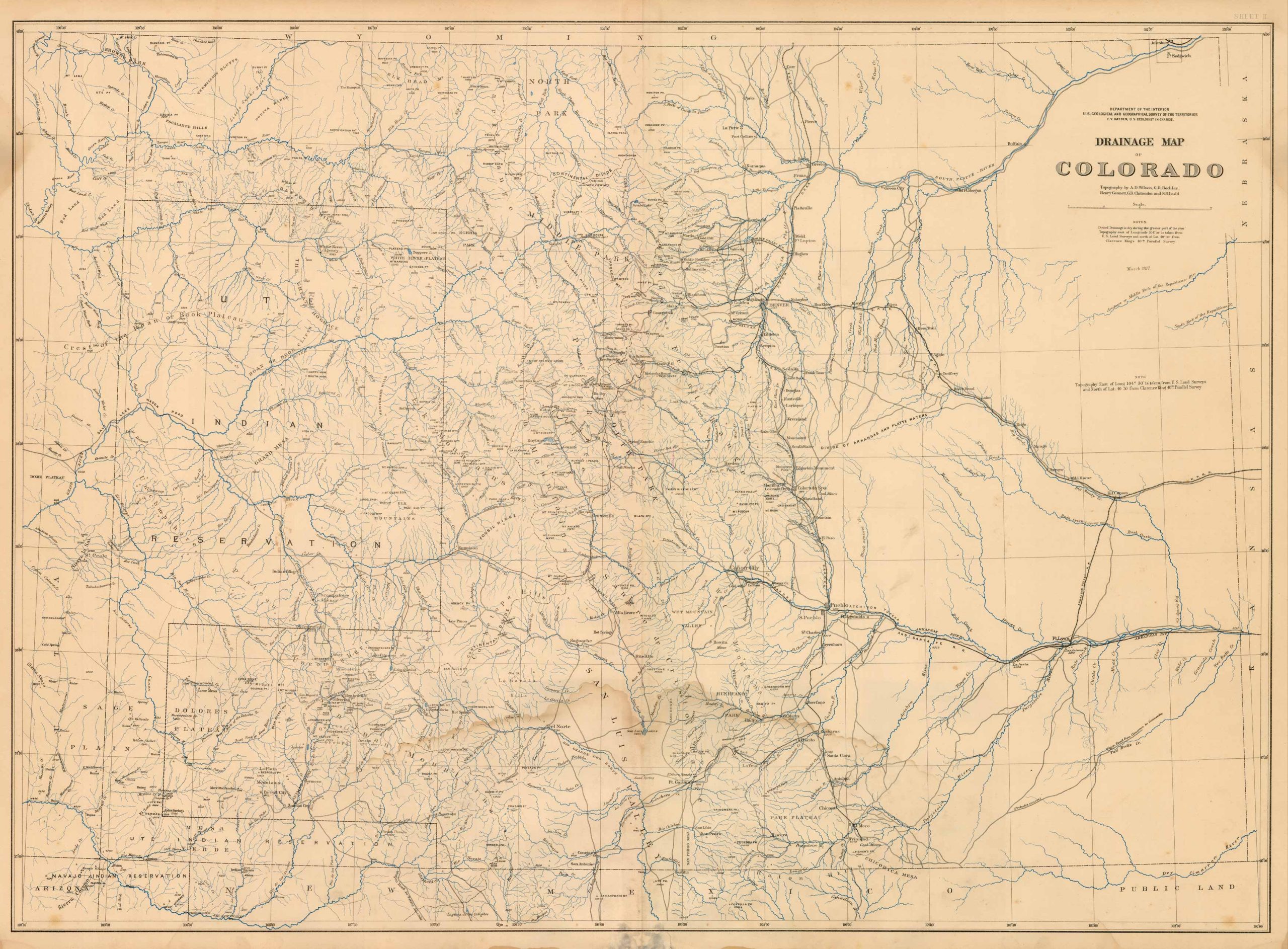
Drainage Map of Colorado by the Department of the Interior U.S. Geological and Geographical Survey of the Territories, F.V. Hayden as the U.S. Geologist in charge. This detailed map points out many man-made and natural features such as creeks, rivers, mountains, cities, reservations, ruins, farms, cliffs, plateaus, and regional areas among others. Included are notes that explain drainage trends and the topography seen on the map. This map was originally printed in March of 1877.
Additional information
| Weight | 0.25 lbs |
|---|---|
| Dimensions | 26.5 × 35.75 × 0.002 in |
Map Maker: F.V HAYDEN
Original Production Year: 1877
Year: 1877
Original Production Year: 1877
Year: 1877


