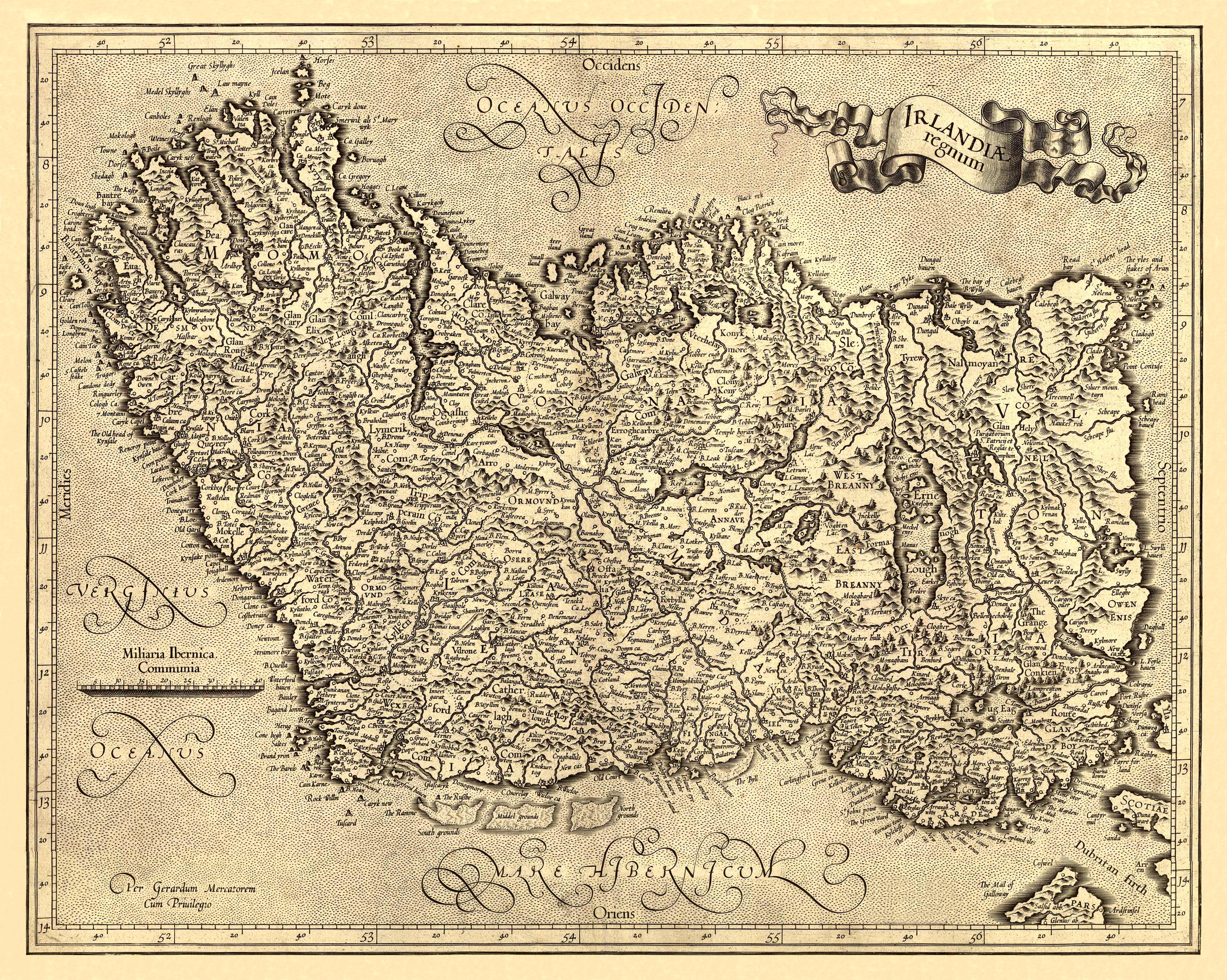
This beautiful map of Ireland was done by Gerard Mercator in 1631. For nearly sixty years, during the most important and exciting period in the story of modern map making, Gerard Mercator was the supreme cartographer, his name, second only to Ptolemy, synonymous with the form of map projection still in use today. Although not the inventor of this type of projection he was the first to apply it to navigational charts in such a form that compass bearings could be plotted on charts in straight lines, thereby providing seamen with a solution to an age-old problem of navigation at sea. His influence transformed land surveying and his researches and calculations led him to break away from Ptolemy’s conception of the size and outline of the Continents, drastically reducing the longitudinal length of Europe and Asia and altering the shape of the Old World as visualized in the early sixteenth century.
Additional information
| Weight | 0.25 lbs |
|---|---|
| Dimensions | 19 × 24 × 0.002 in |
Map Maker: Gerard Mercator
Original Production Year: 1631
Original Production Year: 1631


