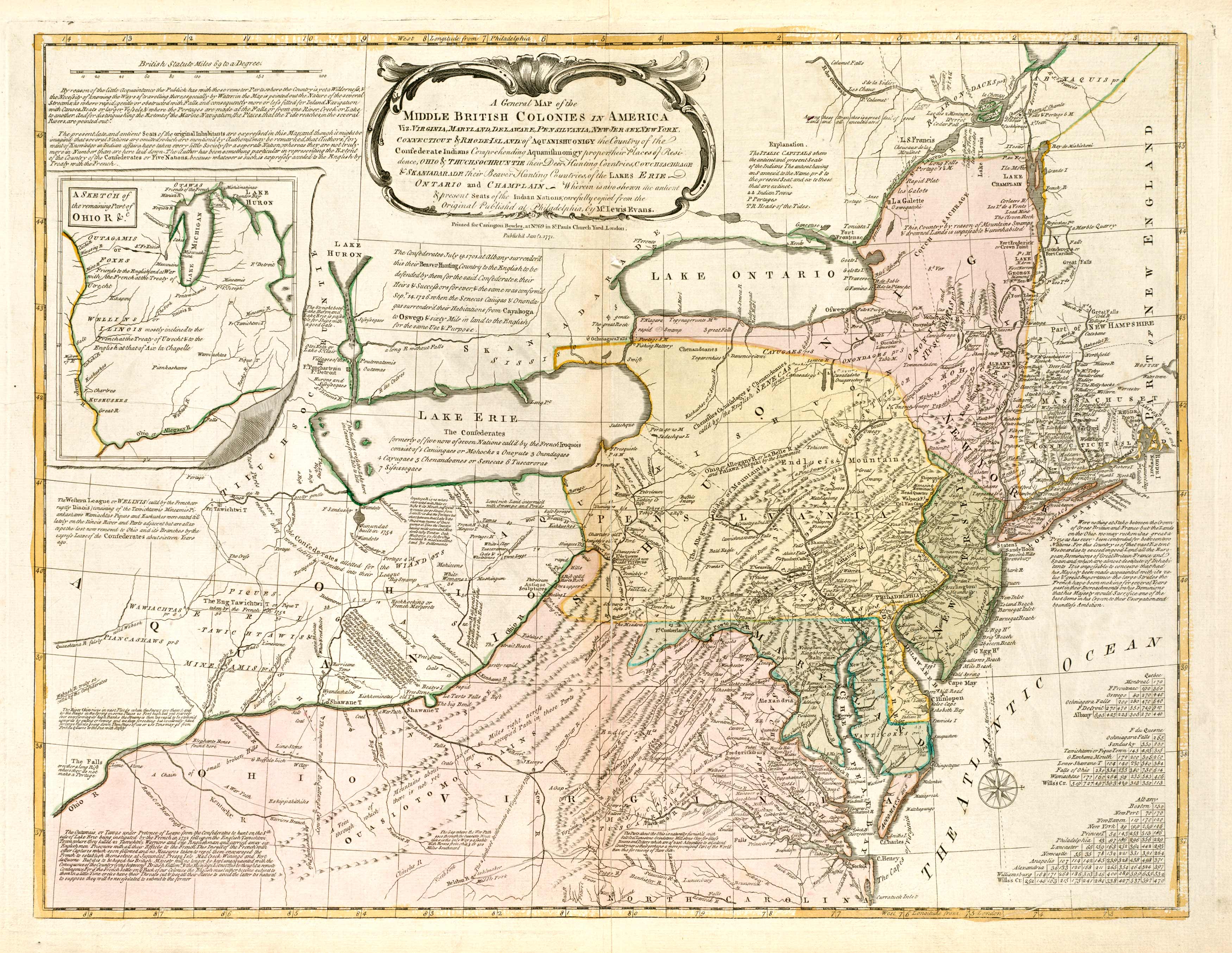
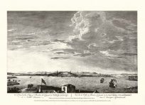
This map shows what was Ohio, Virginia, Ontario, and Pennsylvania in 1848. It labels Lake Ontario and Lake Erie. The map has a sketch of the Ohio River and provides then-known information on Indian settlements, swamps, mountains, and bodies of water. It contains notes on the discoveries of the geography of the area as well as the history of the colonization of surrounding towns.
Additional information
| Weight | 0.25 lbs |
|---|---|
| Dimensions | 20.48 × 26.48 × 0.002 in |
Map Maker: United States Coast Survey
Original Production Year: 1848
Original Production Year: 1848


