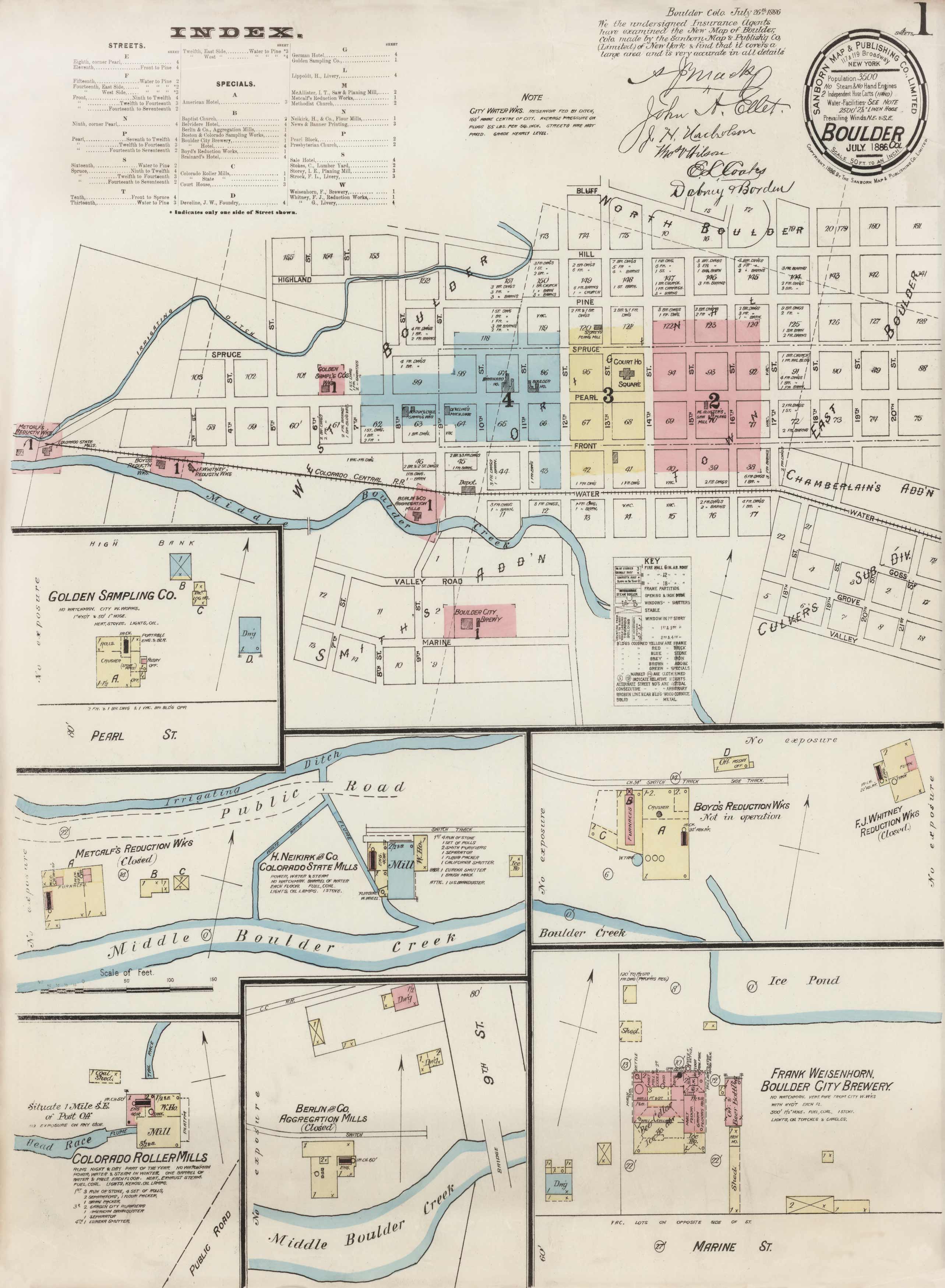
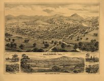
This map of Boulder identifies streets, hotels, mills, railroad lines, Boulder Creek, churches, the Court House, and more as they were in 1886. It shows everything between Bluff and Front St. In the insets, the map shows the Berlin Co. Aggregation Mills, the Colorado Roller Mills, Boulder City Brewery, Golden Samping Co. and Boyd’s Reduction Works.
Additional information
| Weight | 0.25 lbs |
|---|---|
| Dimensions | 22 × 18.5 × 0.002 in |
Map Maker: Sanborn Map & Publishing
Original Production Year: 1886
Original Production Year: 1886


