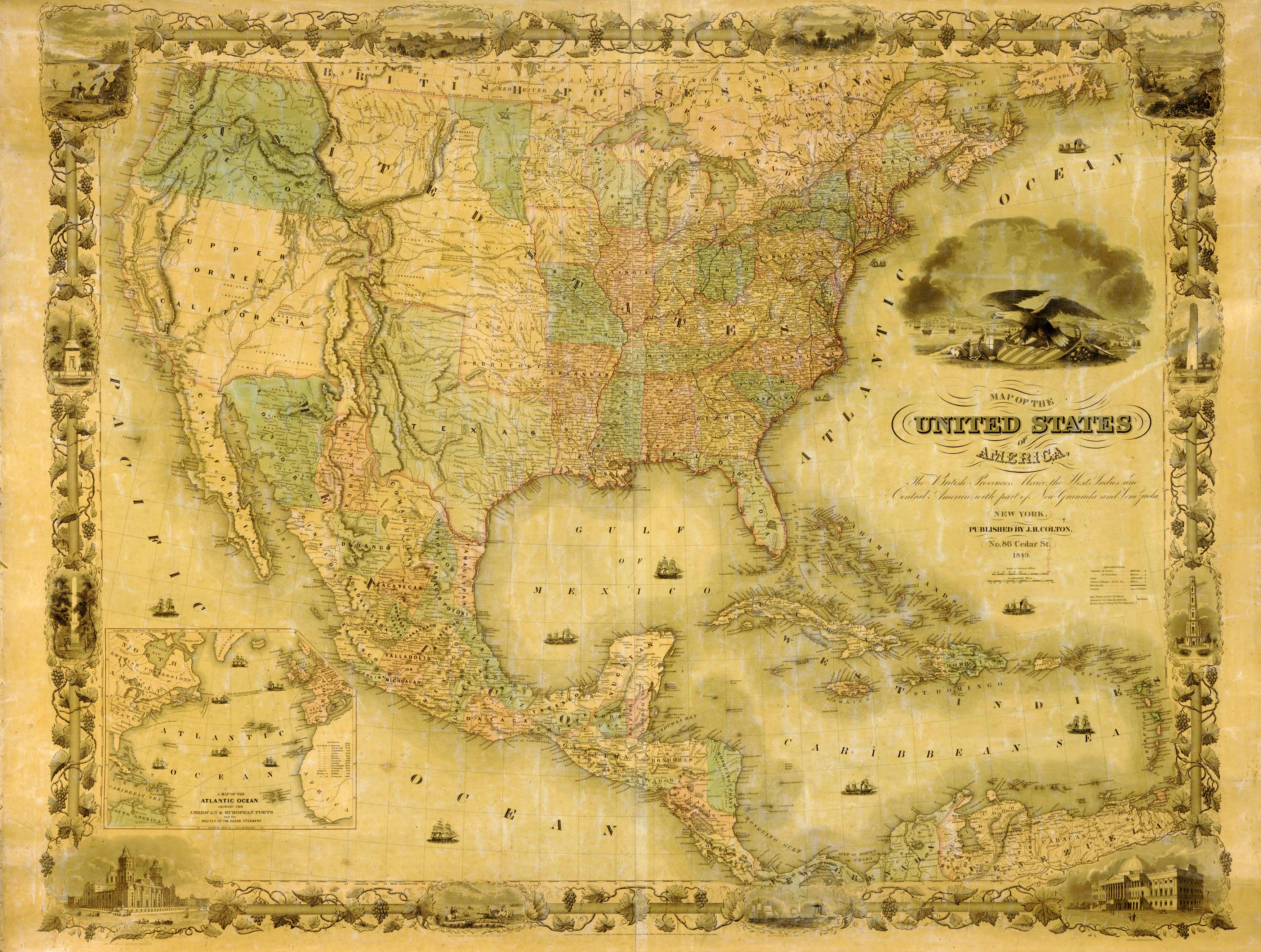
Map of the United States of America, the British Provinces, Mexico, the West Indies, and Central America, with Part of New Granada and Venezuela”. Inset map shows “Map of the Atlantic Ocean Showing the American and European Ports and the Routes of the Ocean Steamers”.”
Additional information
| Weight | 0.25 lbs |
|---|---|
| Dimensions | 16.5 × 22 × 0.002 in |
Map Maker: J.H. Colton
Original Production Year: 1849
Original Production Year: 1849


