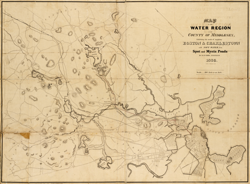
This map by R.H. Eddy shows the water region of the county of Middlesex. It details rivers, canals, ponds, brooks, hills, street names, turnpikes, bridges, navy yards, and more. The map shows part of East Boston, South Boston, Lexington, Cambridge, and Charleston.
- Invalid Image Size
Additional information
| Weight | 0.25 lbs |
|---|---|
| Dimensions | 22 × 30 × 0.002 in |
Map Maker: R.H. Eddy
Original Production Year: 1836
Original Production Year: 1836


