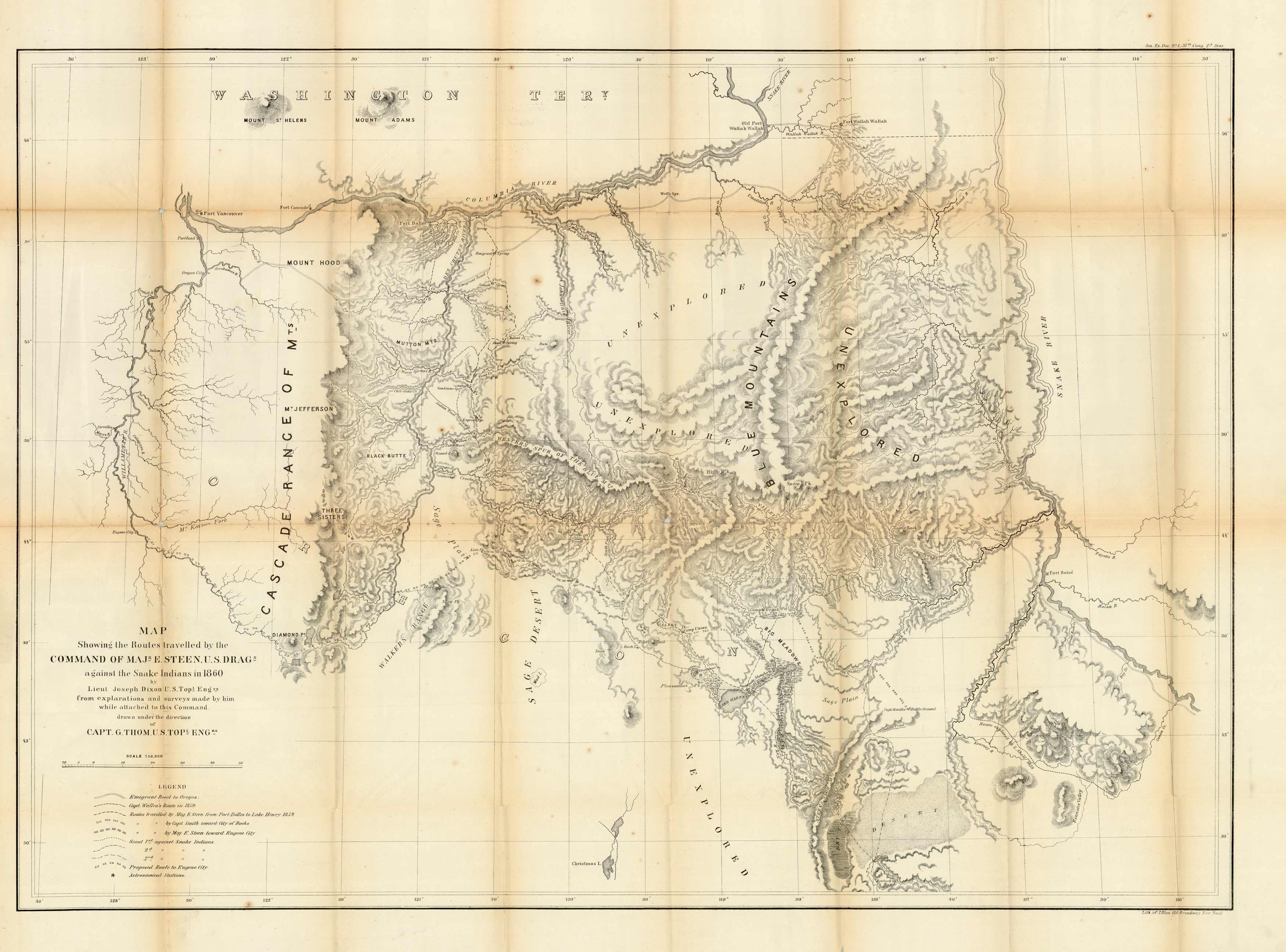
One of the most sought after Oregon Idaho Indian Campaign military maps. This map depicts the Route of Major Steen, U.S. Dragoons, against the Snake Indians. In the far N.W. corner of the map is Ft. Dalles (Walla Walla area) south to Eugene City and East To Fort Boise. A beauty of a map.
Additional information
| Weight | 0.25 lbs |
|---|---|
| Dimensions | 24 × 33 × 0.002 in |
Town Name: OREGON
Map Maker: Maj. Steen, U.S. Dragoons
Original Production Year: 1860
Year: 1860
Map Maker: Maj. Steen, U.S. Dragoons
Original Production Year: 1860
Year: 1860


