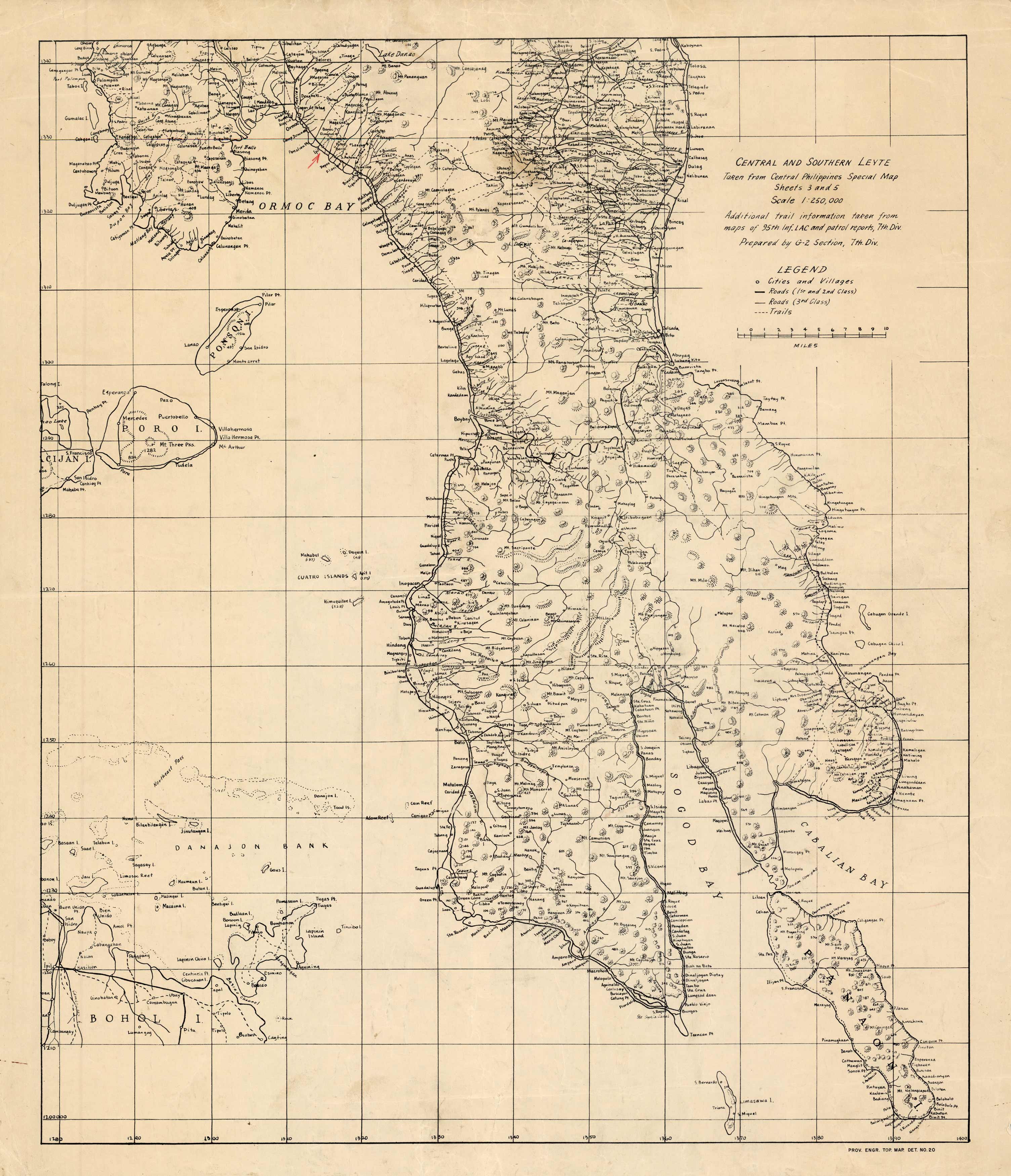
This map shows Central and Southern Leyte, Philippines. This highly detailed map shows cities and towns, mountains, rivers, bays, islands, and many other points of interest. It came with a collection of maps concentrating on the same area in 1944, a historic time in the Philippines during WWII. The Battle of Leyte launched the Philippines campaign of 1944’45 for the recapture and liberation of the entire Philippine Archipelago and to end almost three years of Japanese occupation.
Additional information
| Weight | 0.25 lbs |
|---|---|
| Dimensions | 21 × 17.75 × 0.002 in |
Town Name: LEYTE ISLAND, PHILIPPINES
Map Maker: US Army
Original Production Year: 1944
Year: circa 1944
Map Maker: US Army
Original Production Year: 1944
Year: circa 1944


