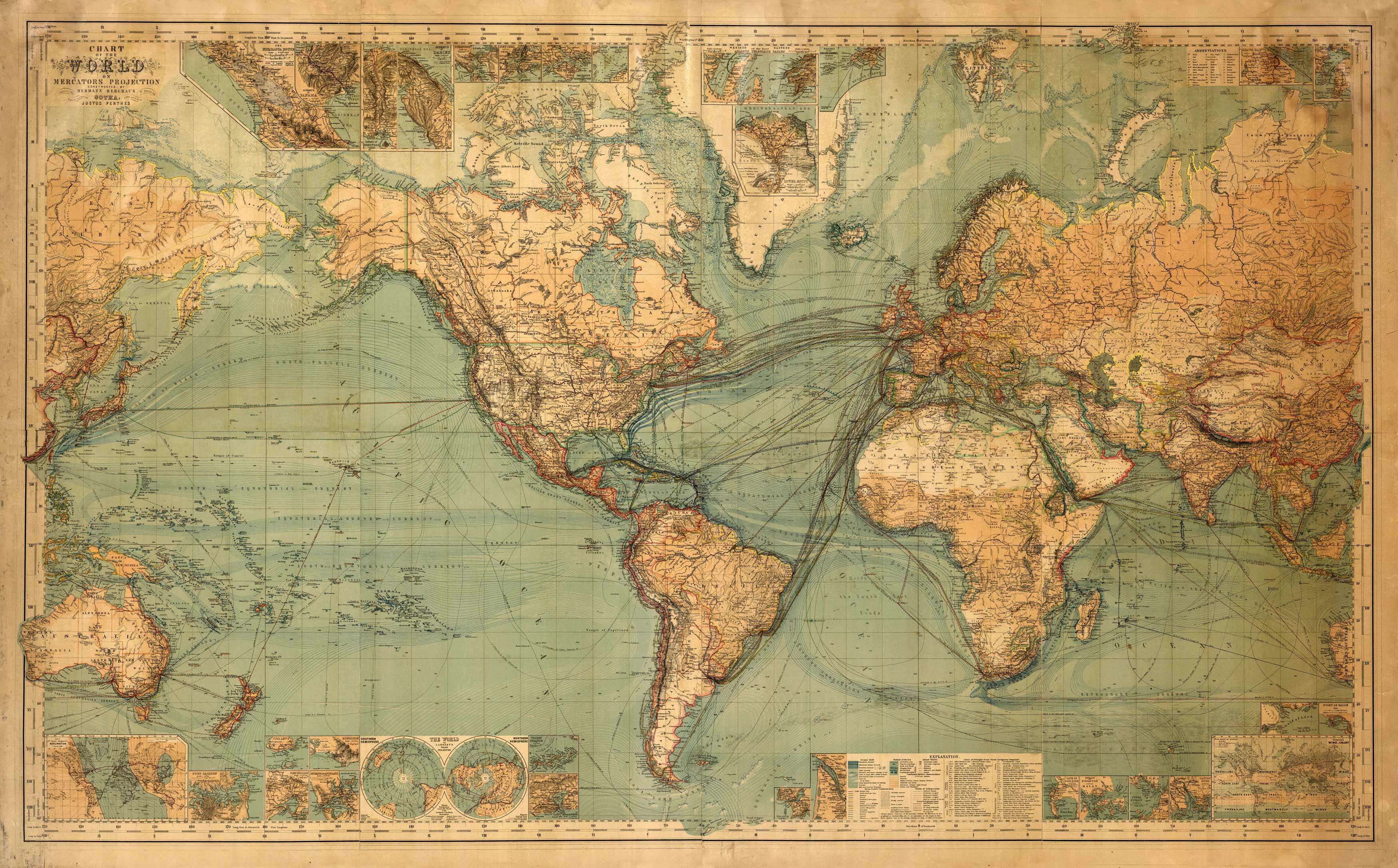
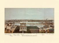
This informative and extensive 1882 world map by Hermann and Perthes shows oceanic drift, steam packet communication by country and frequency, telegraph lines, tracks of sailing vessels, ocean/continental geographical data, wind charts, and lines of steam navigation companies.
Additional information
| Weight | 0.25 lbs |
|---|---|
| Dimensions | 18.5 × 30 × 0.002 in |
Map Maker: Justus Perthes, Hermann Berghaus
Original Production Year: 1882
Original Production Year: 1882


