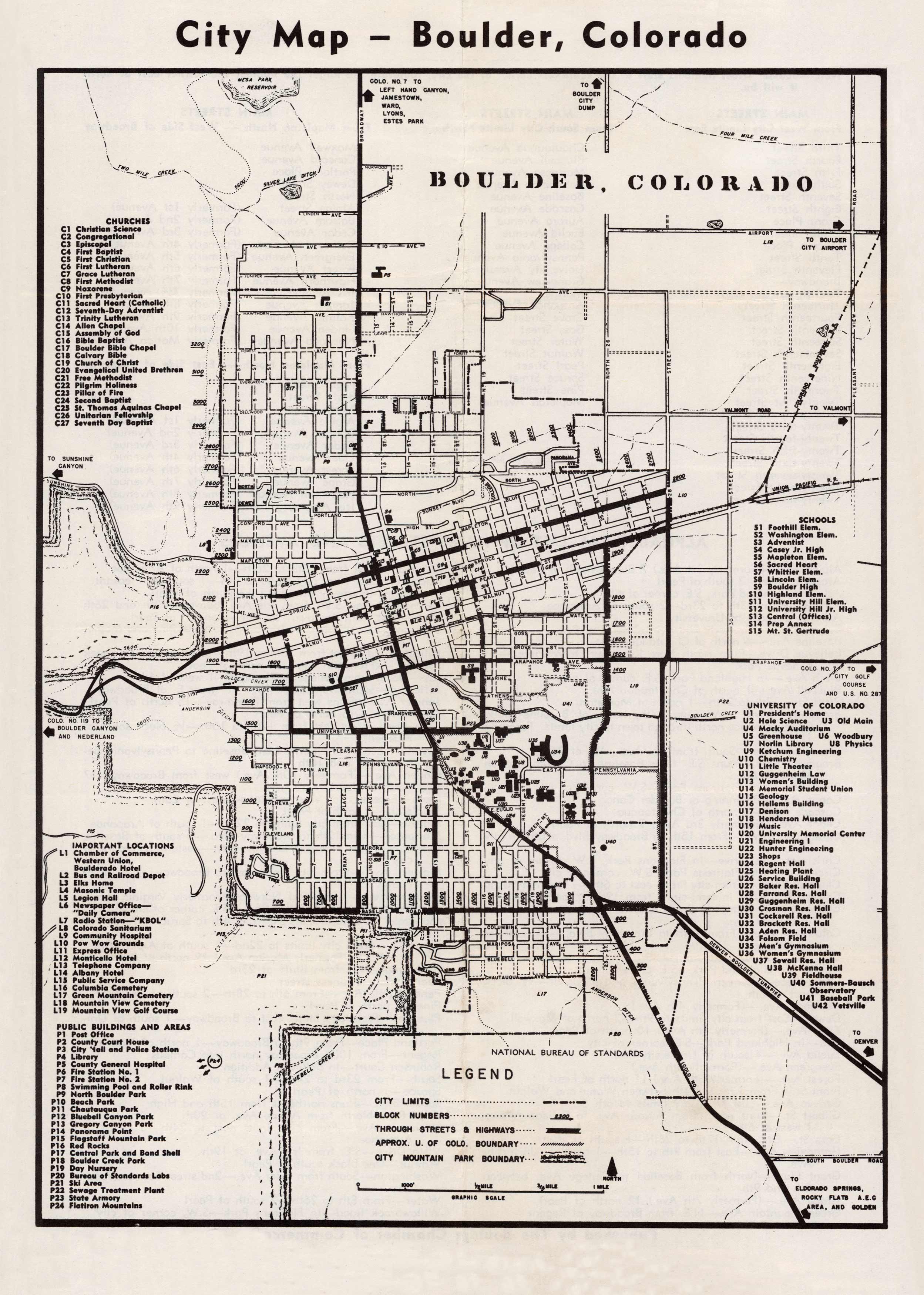
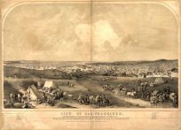
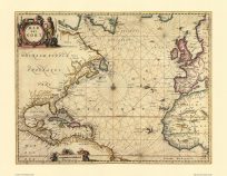
This reproduction map of the city of Boulder was created circa 1950. Street names, geographic features, the Union Pacific Railroad, and various points of interest are shown on this unique mid-century map.
Additional information
| Weight | 0.25 lbs |
|---|---|
| Dimensions | 15.5 × 10.5 × 0.002 in |
Map Maker: Boulder Chamber of Commerce
Original Production Year: Ca. 1950
Original Production Year: Ca. 1950


